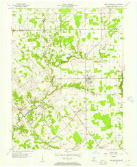
1956 Map of New Washington
USGS Topo · Published 1973About this map
New Washington sits at the crossroads of this mid-century landscape, surrounded by the intricate drainage of Fourteenmile Creek. The terrain is defined by the sharp incisions of the West Fork and East Fork, which carve through the plateau to create a deeply dissected topography. These waterways, along with Flag Run and Polk Run, dictate the winding path of local roads and the placement of early homesteads.
Find a feature on this map
25 named features on this map. Tap any name to fly to it.
Don’t see what you’re looking for? This feature index may not catch every label — zoom into the map to look around manually.
Map Details
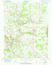
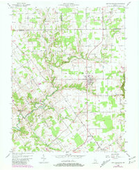
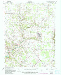
Editions of this 1956 New Washington Map
4 editions found
Other maps of this area

1905 · Prospect
USGS Topo · 1:62,500

1912 · Prospect
USGS Topo · 1:62,500

1932 · La Grange
USGS Topo · 1:62,500

1937 · Charlestown
USGS Topo · 1:24,000

1938 · Owen
USGS Topo · 1:24,000

1939 · Bethlehem
USGS Topo · 1:24,000

1939 · Madison West
USGS Topo · 1:24,000

1948 · Bethlehem
USGS Topo · 1:24,000

1948 · Madison West
USGS Topo · 1:24,000

1948 · Owen
USGS Topo · 1:24,000