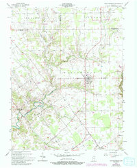
1956 Map of New Washington
USGS Topo · Published 1993About this map
The Clark Military Grant defines the southern half of this landscape, its diagonal surveying lines creating a striking geometric contrast with the traditional north-south township grids used elsewhere in Clark County. This unique boundary layout influences the placement of local roads and property lines throughout Oregon and Washington townships. The village of New Washington serves as the central hub, supported by smaller settlements like New Market and Hibernia that dot the countryside during the mid-1950s.
Find a feature on this map
25 named features on this map. Tap any name to fly to it.
Don’t see what you’re looking for? This feature index may not catch every label — zoom into the map to look around manually.
Map Details
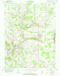
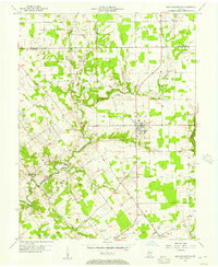
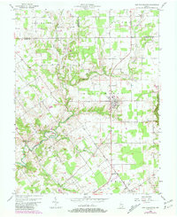
Editions of this 1956 New Washington Map
4 editions found
Other maps of this area

1905 · Prospect
USGS Topo · 1:62,500

1912 · Prospect
USGS Topo · 1:62,500

1932 · La Grange
USGS Topo · 1:62,500

1937 · Charlestown
USGS Topo · 1:24,000

1938 · Owen
USGS Topo · 1:24,000

1939 · Bethlehem
USGS Topo · 1:24,000

1939 · Madison West
USGS Topo · 1:24,000

1948 · Bethlehem
USGS Topo · 1:24,000

1948 · Madison West
USGS Topo · 1:24,000

1948 · Owen
USGS Topo · 1:24,000