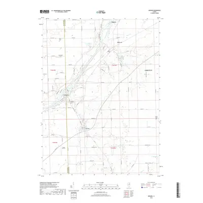
2018 Map of Newark
USGS Topo · Published 2018About this map
The Fox River cuts a diagonal path through this corner of Kendall and LaSalle counties, anchoring a corridor of historic river towns including Millington, Millbrook, and Millhurst. To the south, the village of Newark serves as a primary hub for the surrounding agricultural prairie, situated near the headwaters of Roods Cr. The landscape is defined by the transition from the river valley to the broad upland plains, where scattered burial grounds like Pine Mound Cem and Darnell Cem provide focal points for genealogical research.
Find a feature on this map
88 named features on this map. Tap any name to fly to it.
Don’t see what you’re looking for? This feature index may not catch every label — zoom into the map to look around manually.
Map Details
Editions of this 2018 Newark Map
This is the sole edition of this map. No revisions or reprints were ever made.
Other maps of this area

1892 · Morris
USGS Topo · 1:62,500

1892 · Marseilles
USGS Topo · 1:62,500

1916 · Marseilles
USGS Topo · 1:62,500

1918 · Morris
USGS Topo · 1:62,500

1925 · Yorkville
USGS Topo · 1:62,500

1940 · Marseilles
USGS Topo · 1:62,500

1948 · Sandwich
USGS Topo · 1:62,500

1950 · Sandwich
USGS Topo · 1:62,500

1953 · Plattville
USGS Topo · 1:24,000

1953 · Lisbon
USGS Topo · 1:24,000