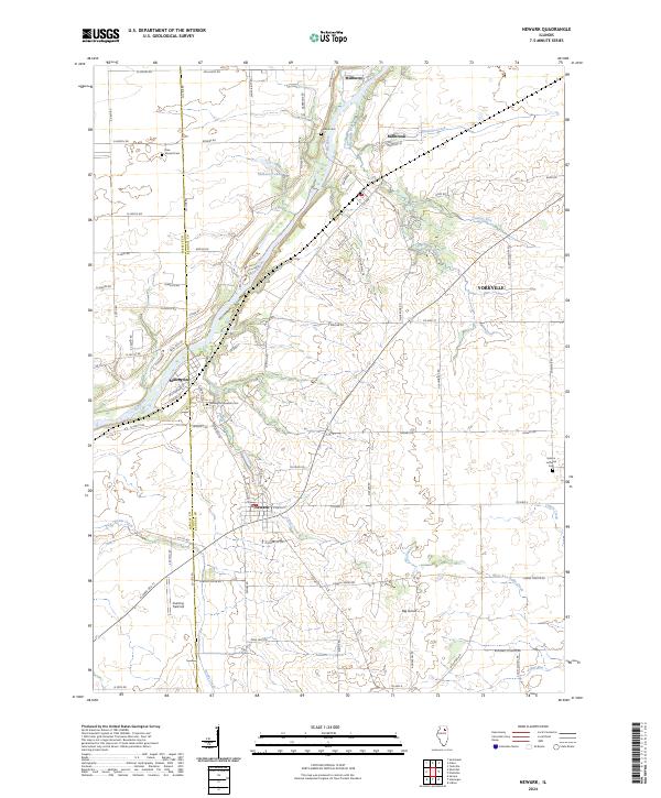
2024 Map of Newark
USGS Topo · Published 2024About this map
The Fox River cuts a prominent diagonal through this landscape, anchoring the historical river settlements of Millington, Millbrook, and Millhurst. This area, situated along the border of LaSalle and Kendall counties, reflects a deep-rooted agricultural and rural heritage centered around the Newark village. The map is particularly useful for genealogists, as it identifies several local burial grounds including Mound Cem, Darnell Cem, and the Millington Newark Cem near the riverbanks. To the east, the terrain opens into the Big Grove area, where West Aux Sable Creek and Lisbon Creek drain the fertile plains. Away from the primary settlements, landmarks like Cushing Field Ltd and the Helmar Lutheran Cem offer specific points of interest for local historians tracking the development of these prairie townships.
Find a feature on this map
80 named features on this map. Tap any name to fly to it.
Don’t see what you’re looking for? This feature index may not catch every label — zoom into the map to look around manually.
Map Details
Editions of this 2024 Newark Map
This is the sole edition of this map. No revisions or reprints were ever made.
Other maps of this area

1892 · Morris
USGS Topo · 1:62,500

1892 · Marseilles
USGS Topo · 1:62,500

1916 · Marseilles
USGS Topo · 1:62,500

1918 · Morris
USGS Topo · 1:62,500

1925 · Yorkville
USGS Topo · 1:62,500

1940 · Marseilles
USGS Topo · 1:62,500

1948 · Sandwich
USGS Topo · 1:62,500

1950 · Sandwich
USGS Topo · 1:62,500

1953 · Plattville
USGS Topo · 1:24,000

1953 · Lisbon
USGS Topo · 1:24,000