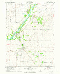
1971 Map of Newark
USGS Topo · Published 1973About this map
The Fox River carves a diagonal path across the landscape, serving as a historic corridor for transportation and settlement in the early 1970s. Along its banks, the Burlington Northern railroad links the riverside communities of Millbrook, Millington, and Millhurst. The interior terrain reveals a transition from the river valley to the agricultural uplands, where the Big Grove and Sleepy Hollow define the natural character of the township.
Find a feature on this map
45 named features on this map. Tap any name to fly to it.
Don’t see what you’re looking for? This feature index may not catch every label — zoom into the map to look around manually.
Map Details
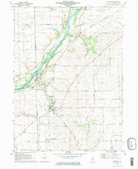
Editions of this 1971 Newark Map
2 editions found
Other maps of this area

1892 · Morris
USGS Topo · 1:62,500

1892 · Marseilles
USGS Topo · 1:62,500

1916 · Marseilles
USGS Topo · 1:62,500

1918 · Morris
USGS Topo · 1:62,500

1925 · Yorkville
USGS Topo · 1:62,500

1940 · Marseilles
USGS Topo · 1:62,500

1948 · Sandwich
USGS Topo · 1:62,500

1950 · Sandwich
USGS Topo · 1:62,500

1953 · Plattville
USGS Topo · 1:24,000

1953 · Lisbon
USGS Topo · 1:24,000