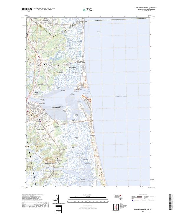
2024 Map of Newburyport East
USGS Topo · Published 2024About this map
The Merrimack River meets the Atlantic Ocean in this coastal survey, where the historic maritime centers of Newburyport and Salisbury sit amidst a complex network of marshes and barrier islands. The landscape is defined by the expansive Parker River National Wildlife Refuge, which encompasses Plum Island and a labyrinth of tidal channels such as Plumbush Creek and Pine Island Creek. Significant genealogical data is preserved in numerous burial sites, including the First Settlers Burying Ground and Old Town Cem in Newbury Old Town. The transition from historic settlement to modern conservation is evident, as the old neighborhoods of Joppa and Upper Green stand alongside landmarks like the Plum Island Airport and the Border-To-Boston Trl.
Find a feature on this map
156 named features on this map. Tap any name to fly to it.
Don’t see what you’re looking for? This feature index may not catch every label — zoom into the map to look around manually.
Map Details
Editions of this 2024 Newburyport East Map
This is the sole edition of this map. No revisions or reprints were ever made.
Other maps of this area

1886 · Gloucester
USGS Topo · 1:62,500

1888 · Newburyport
USGS Topo · 1:62,500

1888 · Gloucester
USGS Topo · 1:62,500

1888 · Salem
USGS Topo · 1:62,500

1890 · Newburyport
USGS Topo · 1:62,500

1893 · Salem
USGS Topo · 1:62,500

1893 · Gloucester
USGS Topo · 1:62,500

1894 · Newburyport
USGS Topo · 1:62,500

1917 · Salem
USGS Topo · 1:62,500

1918 · Gloucester
USGS Topo · 1:62,500