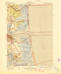
1945 Map of Newburyport East
USGS Topo · Published 1945About this map
The Merrimack River serves as the central artery for this coastal landscape, where the bustling community of Newburyport meets the intricate tidal marshes of the Atlantic shore. Surveyed in the early 1940s, the map reveals a complex network of waterways, including the Plum Island River and the meandering Parker River, which define the geography of Newbury Old Town. The transition from the established settlement of Salisbury to the recreational stretches of Seabrook Beach and Plum Island Pt reflects the dual identity of the region as both a maritime industrial hub and a seaside destination. Local history is deeply embedded in the land, from the Newburyport LH and Coast Guard Sta guarding the harbor entrance to the family-linked landmarks like Woodbridge Island and Ireland Pt. Infrastructure such as the Boston and Maine Railroad and the Airway Beacon near Woodbridge Sch highlight the transportation technology of the mid-20th century.
Find a feature on this map
80 named features on this map. Tap any name to fly to it.
Don’t see what you’re looking for? This feature index may not catch every label — zoom into the map to look around manually.
Map Details
Editions of this 1945 Newburyport East Map
2 editions found
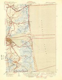
Other maps of this area

1886 · Gloucester
USGS Topo · 1:62,500

1888 · Newburyport
USGS Topo · 1:62,500

1888 · Gloucester
USGS Topo · 1:62,500

1888 · Salem
USGS Topo · 1:62,500

1890 · Newburyport
USGS Topo · 1:62,500

1893 · Salem
USGS Topo · 1:62,500

1893 · Gloucester
USGS Topo · 1:62,500

1894 · Newburyport
USGS Topo · 1:62,500

1917 · Salem
USGS Topo · 1:62,500

1918 · Gloucester
USGS Topo · 1:62,500