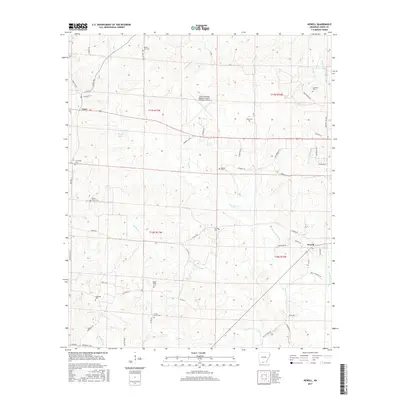
2017 Map of Newell
USGS Topo · Published 2017About this map
Cairo and Newell anchor this Union County landscape, characterized by a dense network of local roads and family cemeteries that reflect generations of settlement. The terrain is defined by the winding paths of Little Cornie Bayou and Richland Cr, with the prominent Choctaw Ridge rising to the northeast. A significant modern landmark, the South Arkansas Regional Airport at Goodwin Field, occupies a central position, marking the evolution of local transportation from rural roads like Lisbon Rd and Shuler Rd to regional aviation.
Find a feature on this map
61 named features on this map. Tap any name to fly to it.
Don’t see what you’re looking for? This feature index may not catch every label — zoom into the map to look around manually.
Map Details
Editions of this 2017 Newell Map
This is the sole edition of this map. No revisions or reprints were ever made.
Other maps of this area

1927 · El Dorado
USGS Topo · 1:62,500

1930 · El Dorado
USGS Topo · 1:62,500

1951 · El Dorado
USGS Topo · 1:62,500

1953 · El Dorado
USGS Topo · 1:250,000

1957 · El Dorado
USGS Topo · 1:250,000

1958 · El Dorado
USGS Topo · 1:250,000

1960 · El Dorado
USGS Topo · 1:250,000

1962 · Lisbon
USGS Topo · 1:24,000

1962 · Smackover
USGS Topo · 1:24,000

1962 · Mt Holly
USGS Topo · 1:24,000