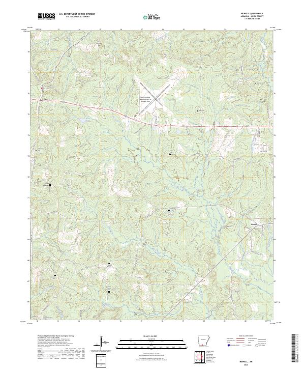
2024 Map of Newell
USGS Topo · Published 2024About this map
Newell and Cairo anchor this portion of Union County, where the landscape is defined by the headwaters of Bayou De Loutre and Curtis Creek. The map reveals a dense network of family and community history preserved in numerous burial grounds, including Mount Zion Cem, Mount Willie Cem, and Curtis Grove Cem. The South Arkansas Regional Airport at Goodwin Field occupies a central plateau, its runways cutting across the natural drainage of Dry Creek. This modern aviation facility contrasts with the traditional rural layout of the surrounding territory, where the terrain transitions from the elevations of Choctaw Ridge down toward the bottomlands of Little Connie Bayou. Throughout the quadrangle, local thoroughfares such as Shuler Rd and Lisbon Rd link small settlements and historic church sites to the broader Arkansas timber and oil country.
Find a feature on this map
58 named features on this map. Tap any name to fly to it.
Don’t see what you’re looking for? This feature index may not catch every label — zoom into the map to look around manually.
Map Details
Editions of this 2024 Newell Map
This is the sole edition of this map. No revisions or reprints were ever made.
Other maps of this area

1927 · El Dorado
USGS Topo · 1:62,500

1930 · El Dorado
USGS Topo · 1:62,500

1951 · El Dorado
USGS Topo · 1:62,500

1953 · El Dorado
USGS Topo · 1:250,000

1957 · El Dorado
USGS Topo · 1:250,000

1958 · El Dorado
USGS Topo · 1:250,000

1960 · El Dorado
USGS Topo · 1:250,000

1962 · Lisbon
USGS Topo · 1:24,000

1962 · Smackover
USGS Topo · 1:24,000

1962 · Mt Holly
USGS Topo · 1:24,000