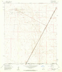
1955 Map of Newman
USGS Topo · Published 1962About this map
The Fort Bliss Military Reservation dominates this mid-1950s desert landscape, spanning the border where New Mexico and Texas meet. The settlement of Newman serves as a focal point along the state line, situated where the Southern Pacific railroad tracks cut a long diagonal across the arid basin. This era shows a landscape transitioning between traditional ranching and modern military aviation needs, evidenced by a unique Landing Strip (In Road) and a Meteorological Station near the northern boundary.
Find a feature on this map
14 named features on this map. Tap any name to fly to it.
Don’t see what you’re looking for? This feature index may not catch every label — zoom into the map to look around manually.
Map Details
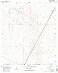
Editions of this 1955 Newman Map
2 editions found
Other maps of this area

1896 · El Paso
USGS Topo · 1:125,000

1908 · El Paso
USGS Topo · 1:125,000

1939 · Heuco Tanks
USGS Topo · 1:62,500

1940 · Heuco Tanks
USGS Topo · 1:62,500

1940 · Newman
USGS Topo · 1:62,500

1941 · Desert
USGS Topo · 1:62,500

1942 · Fort Bliss
USGS Topo · 1:62,500

1943 · Desert
USGS Topo · 1:62,500

1943 · Newman
USGS Topo · 1:62,500

1944 · Heuco Tanks
USGS Topo · 1:62,500