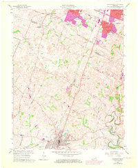
1965 Map of Nicholasville
USGS Topo · Published 1972About this map
The southern outskirts of Lexington and the growing town of Nicholasville define this Central Kentucky landscape during a period of significant suburban expansion. While the northern portion shows the rise of residential developments like Stonewall Estates and the Fayette Mall commercial corridor, the southern reaches maintain a more rural character focused on agriculture and limestone extraction at a local Quarry. Historic routes like Delaneys Ferry Road and Groggins Ferry Road hint at older transportation patterns before modern highways.
Find a feature on this map
61 named features on this map. Tap any name to fly to it.
Don’t see what you’re looking for? This feature index may not catch every label — zoom into the map to look around manually.
Map Details
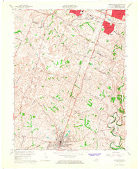
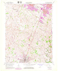
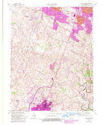
Editions of this 1965 Nicholasville Map
4 editions found
Other maps of this area

1892 · Richmond
USGS Topo · 1:125,000

1897 · Richmond
USGS Topo · 1:125,000

1905 · Harrodsburg
USGS Topo · 1:125,000

1906 · Georgetown
USGS Topo · 1:62,500

1908 · Georgetown
USGS Topo · 1:62,500

1927 · Lexington
USGS Topo · 1:48,000

1929 · Lexington
USGS Topo · 1:62,500

1950 · Lexington East
USGS Topo · 1:24,000

1950 · Lexington West
USGS Topo · 1:24,000

1952 · Keene
USGS Topo · 1:24,000