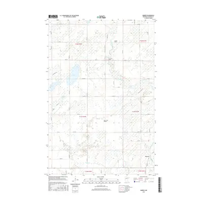
2016 Map of Nimrod
USGS Topo · Published 2016About this map
The Crow Wing River snakes southward through the center of this landscape, its path marked by distinctive natural features like Kossila Oxbow and the Wire Grass Meadow. The settlement of Nimrod anchors the southeastern corner, where the river meets the Cat River and follows a network of local roads including Co Rd 12. This area of Wadena County shows a transition between dense wetlands and agricultural divisions, with several named water bodies such as Yaeger Lake, Rice Lake, and Finn Lake scattered across the township lines.
Find a feature on this map
59 named features on this map. Tap any name to fly to it.
Don’t see what you’re looking for? This feature index may not catch every label — zoom into the map to look around manually.
Map Details
Editions of this 2016 Nimrod Map
This is the sole edition of this map. No revisions or reprints were ever made.
Other maps of this area

1953 · Brainerd
USGS Topo · 1:250,000

1957 · Brainerd
USGS Topo · 1:250,000

1958 · Brainerd
USGS Topo · 1:250,000

1965 · Brainerd
USGS Topo · 1:250,000

1969 · Menahga
USGS Topo · 1:24,000

1969 · Sebeka
USGS Topo · 1:24,000
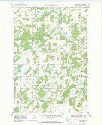
1969 · Blue Grass
USGS Topo · 1:24,000
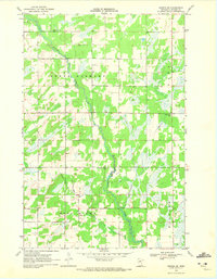
1969 · Nimrod SW
USGS Topo · 1:24,000
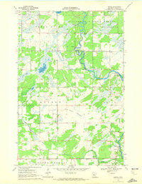
1969 · Nimrod
USGS Topo · 1:24,000

1969 · Burgen Lake
USGS Topo · 1:24,000