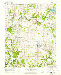
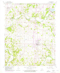
1960 Map of Nixa
USGS Topo · Published 1961About this map
Lake Springfield and its accompanying Power Plant anchor the northeast corner of this 1960s survey, marking a point of industrial utility along the James River. The landscape transitions from the suburban edges of Nixa toward a series of rural hollows and creek beds, including McCafferty Hollow and Turkey Hollow to the south. A dense network of family and community history is visible through numerous burial sites and rural houses of worship, such as Bledsoe Memorial Cem, Payne Cem, and Union Chapel.
Find a feature on this map
49 named features on this map. Tap any name to fly to it.
Don’t see what you’re looking for? This feature index may not catch every label — zoom into the map to look around manually.
Map Details
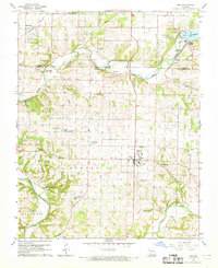
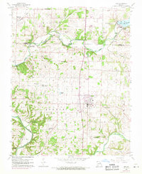
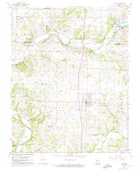
Editions of this 1960 Nixa Map
5 editions found
Other maps of this area

1884 · Springfield
USGS Topo · 1:125,000

1886 · Springfield
USGS Topo · 1:125,000

1907 · Forsyth
USGS Topo · 1:125,000

1935 · Springfield
USGS Topo · 1:24,000

1936 · Brookline
USGS Topo · 1:24,000

1937 · Galloway
USGS Topo · 1:24,000

1937 · Ozark
USGS Topo · 1:48,000

1943 · Ozark
USGS Topo · 1:62,500

1945 · Harrison
USGS Topo · 1:250,000

1945 · Ozark
USGS Topo · 1:62,500