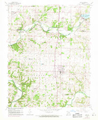
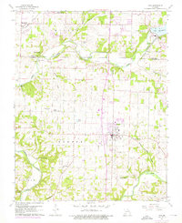
1960 Map of Nixa
USGS Topo · Published 1971About this map
James River meanders across the landscape as it passes through the Greene and Christian county line, anchoring a region of emerging residential clusters and long-standing rural landmarks. The town of Nixa serves as a central hub, while the northern edge is marked by Lake Springfield and the settlement of Kissick along the St Louis San Francisco railroad line. This 1960s-era topography, updated with 1970 aerial data, reveals a transition toward modern suburban features like Shady Acres Golf Course alongside historical infrastructure such as the Nelson Mill Bridge.
Find a feature on this map
60 named features on this map. Tap any name to fly to it.
Don’t see what you’re looking for? This feature index may not catch every label — zoom into the map to look around manually.
Map Details
Editions of this 1960 Nixa Map
5 editions found
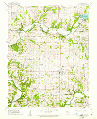
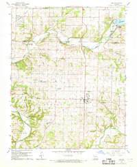
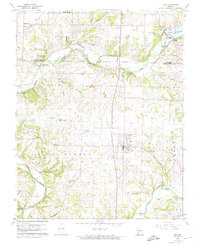
Other maps of this area

1884 · Springfield
USGS Topo · 1:125,000

1886 · Springfield
USGS Topo · 1:125,000

1907 · Forsyth
USGS Topo · 1:125,000

1935 · Springfield
USGS Topo · 1:24,000

1936 · Brookline
USGS Topo · 1:24,000

1937 · Galloway
USGS Topo · 1:24,000

1937 · Ozark
USGS Topo · 1:48,000

1943 · Ozark
USGS Topo · 1:62,500

1945 · Harrison
USGS Topo · 1:250,000

1945 · Ozark
USGS Topo · 1:62,500