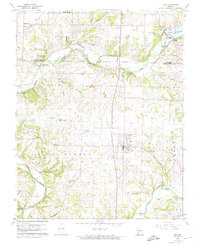
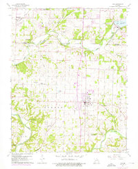
1960 Map of Nixa
USGS Topo · Published 1974About this map
Nixa and the surrounding Christian County landscape are defined by the winding course of the James River and its numerous freshwater springs in this mid-century topographical study. The topography reveals a complex network of hollows and valleys, including Saunders Valley and McCafferty Hollow, which shaped early settlement and transit patterns. Local history is deeply embedded in the rural infrastructure, evidenced by the distribution of small country churches and family burial grounds like the Bledsoe Memorial Cem and Payne Cem. Industrial and recreational development are both visible, from the Power Plant and St Louis - San Francisco RR line near Kissick to the Shady Acres Golf Course and Sheltering Heights Camp. The map documents the area just as the town of Nixa began to expand into the surrounding agricultural landscape, while preserving the location of older landmarks like the Nelson Mill Bridge.
Find a feature on this map
50 named features on this map. Tap any name to fly to it.
Don’t see what you’re looking for? This feature index may not catch every label — zoom into the map to look around manually.
Map Details
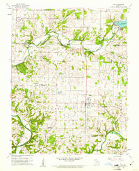
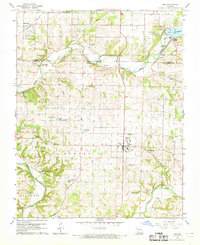
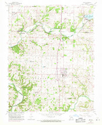
Editions of this 1960 Nixa Map
5 editions found
Other maps of this area

1884 · Springfield
USGS Topo · 1:125,000

1886 · Springfield
USGS Topo · 1:125,000

1907 · Forsyth
USGS Topo · 1:125,000

1935 · Springfield
USGS Topo · 1:24,000

1936 · Brookline
USGS Topo · 1:24,000

1937 · Galloway
USGS Topo · 1:24,000

1937 · Ozark
USGS Topo · 1:48,000

1943 · Ozark
USGS Topo · 1:62,500

1945 · Harrison
USGS Topo · 1:250,000

1945 · Ozark
USGS Topo · 1:62,500