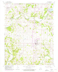
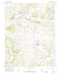
1960 Map of Nixa
USGS Topo · Published 1976About this map
Nixa and the surrounding Christian County countryside are centered in this mid-century topographic study, which captures the region before significant suburban expansion. The landscape is defined by the winding course of the James River and Finley Creek, with numerous springs such as Indian Spring and Blue Spring feeding the waterways. Local genealogy and rural life are well-documented through a dense network of family cemeteries and community landmarks, including Bledsoe Memorial Cem and Walnut Hill Ch.
Find a feature on this map
49 named features on this map. Tap any name to fly to it.
Don’t see what you’re looking for? This feature index may not catch every label — zoom into the map to look around manually.
Map Details
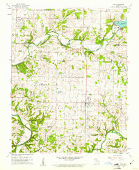
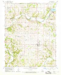
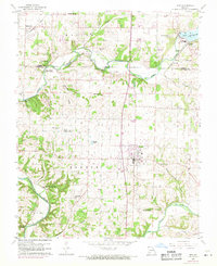
Editions of this 1960 Nixa Map
5 editions found
Other maps of this area

1884 · Springfield
USGS Topo · 1:125,000

1886 · Springfield
USGS Topo · 1:125,000

1907 · Forsyth
USGS Topo · 1:125,000

1935 · Springfield
USGS Topo · 1:24,000

1936 · Brookline
USGS Topo · 1:24,000

1937 · Galloway
USGS Topo · 1:24,000

1937 · Ozark
USGS Topo · 1:48,000

1943 · Ozark
USGS Topo · 1:62,500

1945 · Harrison
USGS Topo · 1:250,000

1945 · Ozark
USGS Topo · 1:62,500