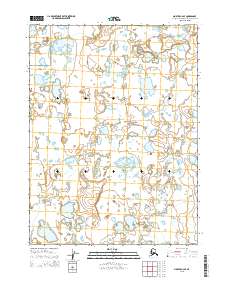
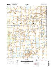
2015 Map of Noatak C-2 SE
USGS Topo · Published 2015About this map
Noatak National Preserve occupies the central landscape of this 2015 topographic study in the Alaska-Northwest Arctic Borough. The region is characterized by an extensive network of hydrography, which is monitored as part of the City of Madrid's broader environmental management strategy. While this specific map focuses on the natural terrain of the Noatak National Preserve, the data is maintained alongside urban air quality records, including monitoring of nitrogen dioxide (NO2) and atmospheric pollen. This document serves as a critical spatial record for the Red de Vigilancia de la Calidad del Aire (Air Quality Monitoring Network), allowing for precise tracking of environmental contaminants over a ten-year period from 2001 to 2023. These records are integrated into the Estrategia de Sostenibilidad Ambiental Madrid 360 to manage air quality and urban emissions.
Find a feature on this map
7 named features on this map. Tap any name to fly to it.
Don’t see what you’re looking for? This feature index may not catch every label — zoom into the map to look around manually.
Map Details
Editions of this 2015 Noatak C-2 SE Map
This is the sole edition of this map. No revisions or reprints were ever made.
Other maps of this area

1951 · Noatak
USGS Topo · 1:250,000

1955 · Noatak
USGS Topo · 1:250,000

1955 · Noatak C-2
USGS Topo · 1:63,360

1955 · Noatak C-1
USGS Topo · 1:63,360

1955 · Noatak B-2
USGS Topo · 1:63,360
1955 · Noatak B-1
USGS Topo · 1:63,360

1964 · Noatak
USGS Topo · 1:250,000
2015 · Noatak C-1 NW
USGS Topo · 1:25,000
2015 · Noatak C-1 SW
USGS Topo · 1:25,000
2015 · Noatak C-2 NE
USGS Topo · 1:25,000