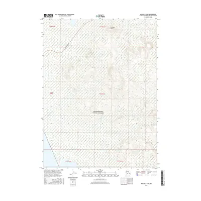
2016 Map of Noatak C-4 SW
USGS Topo · Published 2016About this map
Cape Krusenstern National Monument dominates this coastal landscape in Northwest Arctic Alaska, where a complex network of wetlands and tundra streams meets the sea. The map documents the northern reaches of the monument, showing the transition from the shorelines of Imik Lagoon to the interior highlands. To the north, the terrain rises toward Tukingak Mtn, providing a stark contrast to the low-lying drainages of Agagrak Creek and Umagatsiak Cr that wander through the protected territory.
Find a feature on this map
14 named features on this map. Tap any name to fly to it.
Don’t see what you’re looking for? This feature index may not catch every label — zoom into the map to look around manually.
Map Details
Editions of this 2016 Noatak C-4 SW Map
This is the sole edition of this map. No revisions or reprints were ever made.
Other maps of this area
1951 · Noatak
USGS Topo · 1:250,000
1952 · Noatak C-5
USGS Topo · 1:63,360
1955 · Noatak
USGS Topo · 1:250,000
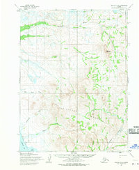
1955 · Noatak C-4
USGS Topo · 1:63,360
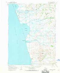
1955 · Noatak B-4
USGS Topo · 1:63,360
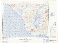
1964 · Noatak
USGS Topo · 1:250,000
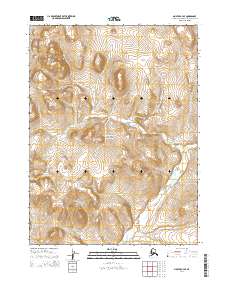
2014 · Noatak C-4 SE
USGS Topo · 1:25,000
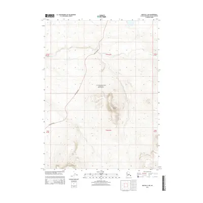
2014 · Noatak C-4 NE
USGS Topo · 1:25,000
2014 · Noatak B-4 NE
USGS Topo · 1:25,000
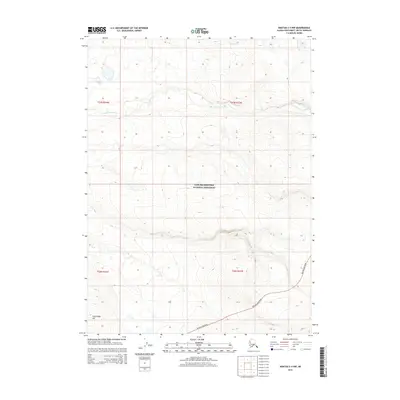
2015 · Noatak C-4 NW
USGS Topo · 1:25,000