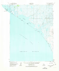
1952 Map of Noatak C-5
USGS Topo · Published 1974About this map
Kivalina occupies a narrow coastal threshold where the Wulik River meets the Chukchi Sea at the Singauk Entrance. This 1952 Army Map Service survey, later updated by the Geological Survey, reveals a highly dynamic landscape of barrier spits and tidal lagoons, including Kivalina Lagoon and the expansive Imikruk Lagoon. The coastal topography is defined by features like Singigrak Spit and a series of triangulation stations, such as Kivalina VABM 8, which provided essential control points for early photogrammetric mapping in the Alaskan Arctic.
Find a feature on this map
25 named features on this map. Tap any name to fly to it.
Don’t see what you’re looking for? This feature index may not catch every label — zoom into the map to look around manually.
Map Details
Editions of this 1952 Noatak C-5 Map
3 editions found
Other maps of this area

1951 · Noatak
USGS Topo · 1:250,000
1952 · Noatak C-5
USGS Topo · 1:63,360

1955 · Noatak
USGS Topo · 1:250,000

1955 · Noatak D-4
USGS Topo · 1:63,360
1955 · Noatak D-6
USGS Topo · 1:63,360

1955 · Noatak C-4
USGS Topo · 1:63,360

1955 · Noatak B-4
USGS Topo · 1:63,360
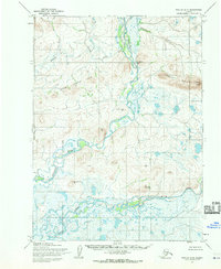
1955 · Noatak D-5
USGS Topo · 1:63,360

1964 · Noatak
USGS Topo · 1:250,000
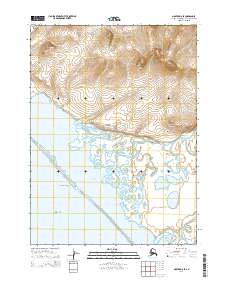
2014 · Noatak D-6 SE
USGS Topo · 1:25,000