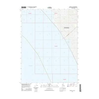
2016 Map of Noatak C-5 SE
USGS Topo · Published 2016About this map
Cape Krusenstern National Monument dominates the northeastern coast of the Chukchi Sea in this portion of the Northwest Arctic. This coastal landscape is defined by its complex lagoon systems, including the Tasaitsat Lagoons and the Tasaitsat Angayukangak Lagoon, which serve as critical interfaces between the sea and the inland tundra. The Red Dog Mine Road provides a singular industrial artery through this otherwise remote region, connecting the coast to the interior highlands. Hydrological features like the Omikviorok River and New Heart Cr drain into the coastal waters, tracing the natural contours of the Alaskan wilderness. The survey details the township and range lines across sections of T26N, T25N, and T24N, providing a technical framework for the land management of this protected monument area.
Find a feature on this map
11 named features on this map. Tap any name to fly to it.
Don’t see what you’re looking for? This feature index may not catch every label — zoom into the map to look around manually.
Map Details
Editions of this 2016 Noatak C-5 SE Map
This is the sole edition of this map. No revisions or reprints were ever made.
Other maps of this area
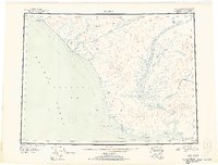
1951 · Noatak
USGS Topo · 1:250,000
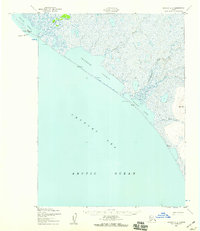
1952 · Noatak C-5
USGS Topo · 1:63,360
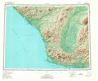
1955 · Noatak
USGS Topo · 1:250,000
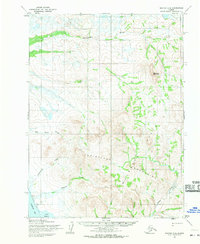
1955 · Noatak C-4
USGS Topo · 1:63,360
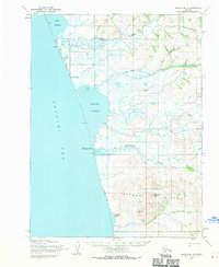
1955 · Noatak B-4
USGS Topo · 1:63,360
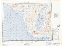
1964 · Noatak
USGS Topo · 1:250,000
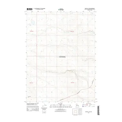
2015 · Noatak C-4 NW
USGS Topo · 1:25,000
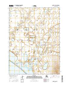
2016 · Noatak C-5 NE
USGS Topo · 1:25,000
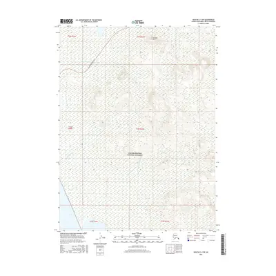
2016 · Noatak C-4 SW
USGS Topo · 1:25,000
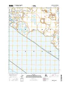
2016 · Noatak C-5 NW
USGS Topo · 1:25,000