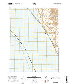
2019 Map of Noatak C-5 SE
USGS Topo · Published 2019About this map
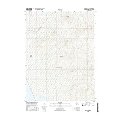
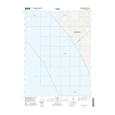
Cape Krusenstern National Monument dominates this coastal landscape along the Chukchi Sea in northwest Alaska. The interface between the sea and the mainland is defined by a complex of brackish water bodies, including the Tasaitsat Lagoons and the Tasaitsat Angayukangak Lagoon. This survey captures a remote stretch of the Arctic coast where modern industrial infrastructure meets protected wilderness, most notably where the Red Dog Mine Haul Road cuts through the monument's northern reach. Inland from the coast, the terrain rises toward Asigilirangik Hill, drained by small coastal waterways such as the Omikviorok River and New Heart Cr. The map provides a clear record of these fragile transition zones between tundra, lagoon, and open sea.
Find a feature on this map
14 named features on this map. Tap any name to fly to it.
Don’t see what you’re looking for? This feature index may not catch every label — zoom into the map to look around manually.
Map Details
Editions of this 2019 Noatak C-5 SE Map
This is the sole edition of this map. No revisions or reprints were ever made.
Other maps of this area

1951 · Noatak
USGS Topo · 1:250,000
1952 · Noatak C-5
USGS Topo · 1:63,360

1955 · Noatak
USGS Topo · 1:250,000

1955 · Noatak C-4
USGS Topo · 1:63,360

1955 · Noatak B-4
USGS Topo · 1:63,360

1964 · Noatak
USGS Topo · 1:250,000
2015 · Noatak C-4 NW
USGS Topo · 1:25,000
2016 · Noatak C-5 NE
USGS Topo · 1:25,000
2016 · Noatak C-4 SW
USGS Topo · 1:25,000
2016 · Noatak C-5 SE
USGS Topo · 1:25,000