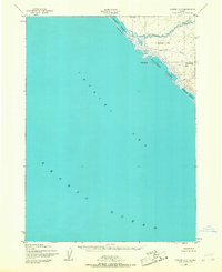
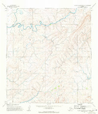
1952 Map of Noatak D-7
USGS Topo · Published 1968About this map
Cape Seppings and the surrounding shoreline of the Chukchi Sea define this remote stretch of the Alaskan coast. The landscape is characterized by a series of significant coastal lagoons, including Singoalik Lagoon, Seppings Lagoon, Tasikpak Lagoon, and Pusaluk Lagoon, which are separated from the Arctic Ocean by a continuous Gravel and Sand Ridge. This barrier beach formation suggests a highly dynamic coastal environment where sediment transport creates vital habitats between the open sea and the inland tundra.
Find a feature on this map
13 named features on this map. Tap any name to fly to it.
Don’t see what you’re looking for? This feature index may not catch every label — zoom into the map to look around manually.
Map Details
Editions of this 1952 Noatak D-7 Map
3 editions found
Other maps of this area

1951 · De Long Mountains
USGS Topo · 1:250,000

1951 · Noatak
USGS Topo · 1:250,000

1952 · Point Hope
USGS Topo · 1:250,000
1952 · Noatak D-7
USGS Topo · 1:63,360

1955 · Noatak
USGS Topo · 1:250,000

1955 · De Long Mountains
USGS Topo · 1:250,000

1955 · Point Hope
USGS Topo · 1:250,000

1955 · Point Hope A-1
USGS Topo · 1:63,360
1955 · Noatak D-6
USGS Topo · 1:63,360
1955 · De Long Mountains A-5
USGS Topo · 1:63,360