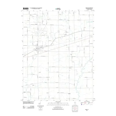
2012 Map of Noble
USGS Topo · Published 2012About this map
The Village of Noble Cem and the settlement of Noble sit at the center of this Richland County landscape, where the prairie meets the winding course of the Fox River. This area is defined by its deep agricultural and energy roots, evidenced by the Schnell East Oil Field near the southwestern hamlet of Schnell. A network of rural cemeteries, including North Freedom Cem and Olive Branch Cem, provides essential touchpoints for genealogists tracing local families across the townships. The terrain is drained by several named waterways like Sugar Creek and Hog Run Creek, which break up the grid of county roads. Further north, the Olney-Noble Airport and small settlements like Pureton and Gallagher punctuate the patchwork of fields and woodlots, illustrating the persistent character of Illinois' rural heartland.
Find a feature on this map
58 named features on this map. Tap any name to fly to it.
Don’t see what you’re looking for? This feature index may not catch every label — zoom into the map to look around manually.
Map Details
Editions of this 2012 Noble Map
This is the sole edition of this map. No revisions or reprints were ever made.
Other maps of this area

1941 · Newton
USGS Topo · 1:62,500

1943 · Newton
USGS Topo · 1:62,500

1948 · Flora
USGS Topo · 1:62,500

1949 · Olney
USGS Topo · 1:62,500

1949 · Flora
USGS Topo · 1:62,500

1953 · Sailor Springs
USGS Topo · 1:62,500

1958 · Belleville
USGS Topo · 1:250,000

1962 · Belleville
USGS Topo · 1:250,000

1970 · Clay City
USGS Topo · 1:24,000

1970 · Enterprise
USGS Topo · 1:24,000