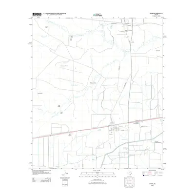
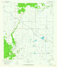
2013 Map of Nome
USGS Topo · Published 2013About this map
Pine Island Bayou and its winding tributaries, including Horsepen Gully and Uncle Charlie Slough, define the drainage of this coastal prairie landscape north of Nome. The settlement patterns here reflect a mix of agricultural and industrial heritage, with the Nome Oil Field situated south of town and several private airfields like North Willis Airport and Farm Air Service Airport serving the surrounding plains. These open spaces are identified by historic names such as Swift Prairie, Whitehead Prairie, and Long Prairie.
Find a feature on this map
51 named features on this map. Tap any name to fly to it.
Don’t see what you’re looking for? This feature index may not catch every label — zoom into the map to look around manually.
Map Details
Editions of this 2013 Nome Map
This is the sole edition of this map. No revisions or reprints were ever made.
Other maps of this area
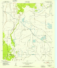
1943 · Whites Bayou
USGS Topo · 1:24,000
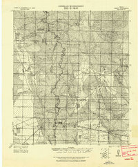
1943 · Liberty
USGS Topo · 1:125,000
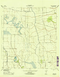
1945 · Nolte
USGS Topo · 1:31,680
1950 · Houston
USGS Topo · 1:250,000

1954 · Beaumont
USGS Topo · 1:250,000
1955 · Daisetta
USGS Topo · 1:62,500
1955 · Sour Lake
USGS Topo · 1:62,500
1956 · Houston
USGS Topo · 1:250,000

1957 · Beaumont
USGS Topo · 1:250,000
1961 · Whites Bayou
USGS Topo · 1:24,000