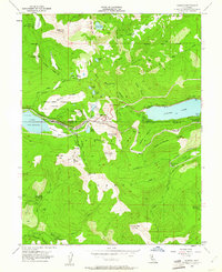
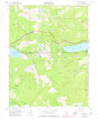
1955 Map of Norden
USGS Topo · Published 1961About this map
The high Sierra Nevada crest at Donner Pass is captured here during the mid-1950s, a landscape defined by its critical transportation and recreation infrastructure. The Southern Pacific railroad dominates the terrain, featuring extensive Snowsheds and a Tunnel to navigate the heavy mountain snows. Near the settlement of Norden, the presence of an Aerial Tramway, Sugar Bowl, and peaks like Mt Disney and Mount Judah highlight the area's development into a premier winter sports destination.
Find a feature on this map
75 named features on this map. Tap any name to fly to it.
Don’t see what you’re looking for? This feature index may not catch every label — zoom into the map to look around manually.
Map Details
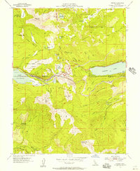
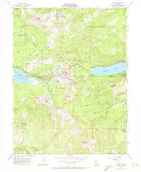
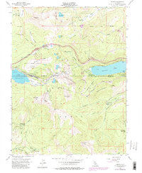
Editions of this 1955 Norden Map
5 editions found
Other maps of this area

1891 · Truckee
USGS Topo · 1:125,000

1893 · Truckee
USGS Topo · 1:125,000

1895 · Truckee
USGS Topo · 1:125,000

1932 · Truckee
USGS Topo · 1:96,000

1940 · Truckee
USGS Topo · 1:125,000

1953 · Granite Chief
USGS Topo · 1:24,000
1953 · Royal Gorge
USGS Topo · 1:24,000

1953 · Granite Chief
USGS Topo · 1:62,500

1955 · Truckee
USGS Topo · 1:24,000
1955 · Tahoe City
USGS Topo · 1:24,000