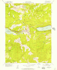
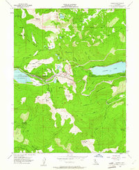
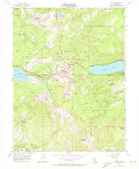
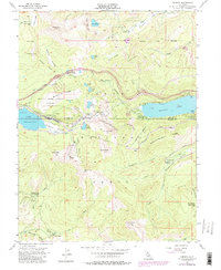
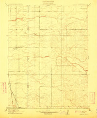
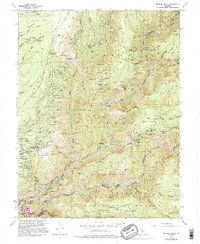
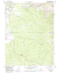
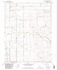
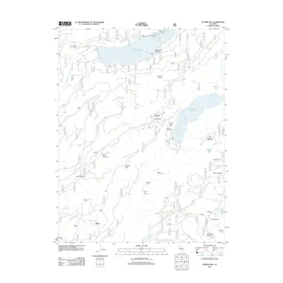
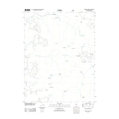
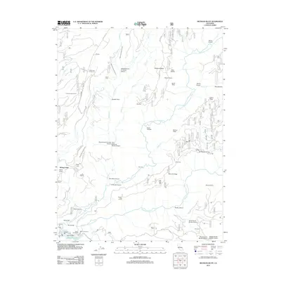
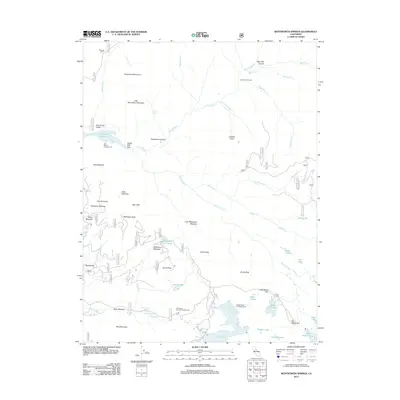
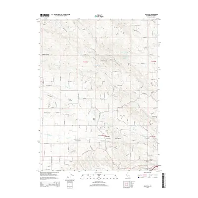
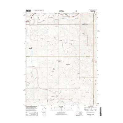
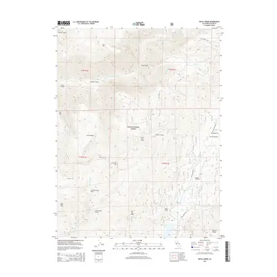
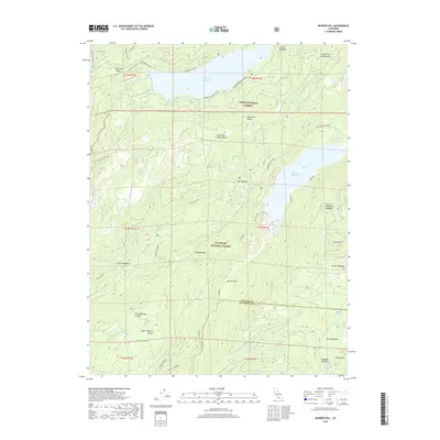
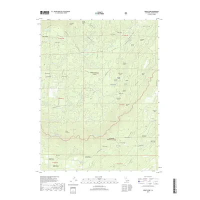
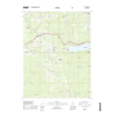
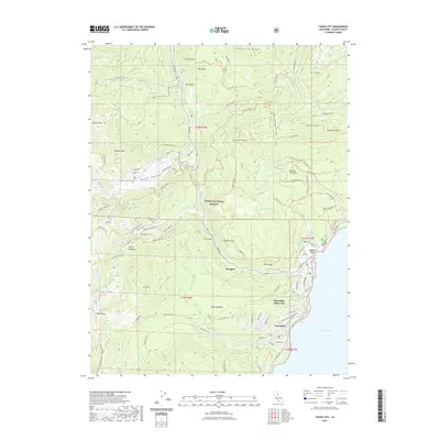
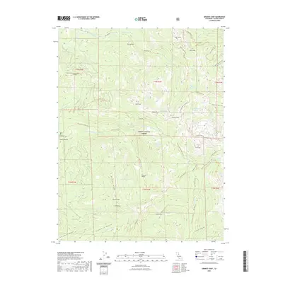
1955 Map of Norden
USGS Topo · Published 1957About this map
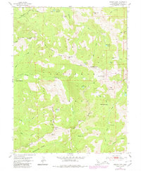
Donner Pass serves as the central focal point of this mid-1950s survey, illustrating the high-altitude infrastructure required to traverse the Sierra Nevada crest. The Southern Pacific railroad line is a prominent fixture, winding through the complex terrain with numerous snowsheds protecting the tracks near Norden. This era captures the region's duality as both a critical transportation corridor and an emerging recreation hub, featuring early ski infrastructure at Sugar Bowl alongside established landmarks like Donner Memorial State Park and Lake Mary.
Find a feature on this map
67 named features on this map. Tap any name to fly to it.
Don’t see what you’re looking for? This feature index may not catch every label — zoom into the map to look around manually.
Map Details
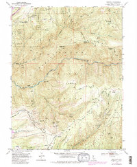
Editions of this 1955 Norden Map
5 editions found
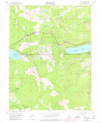
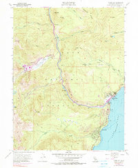
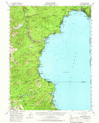
Historical Maps of Truckee Through Time
93 maps found
1910 Pleasant Grove
Placer County, CA

1942 Markham Ravine
Placer County, CA
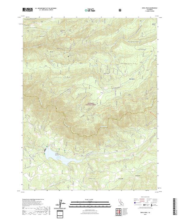
1950 Devil Peak
Placer County, CA
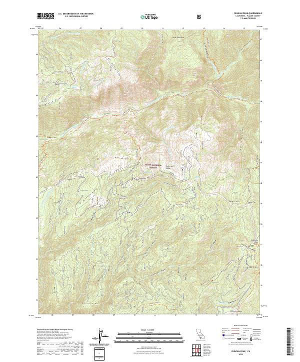
1952 Duncan Peak
Placer County, CA
1952 Duncan Peak
Placer County, CA

1952 Greek Store
Placer County, CA
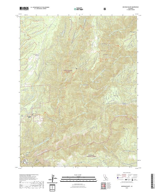
1952 Michigan Bluff
Placer County, CA
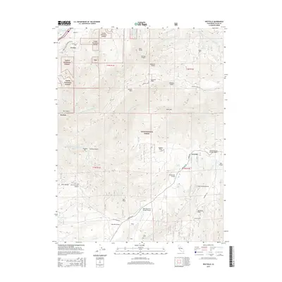
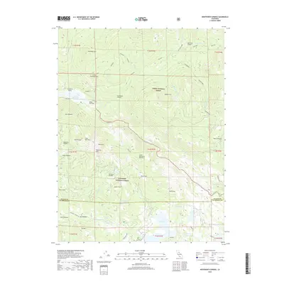
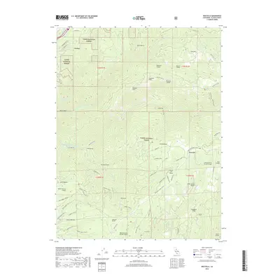
1952 Westville
Placer County, CA
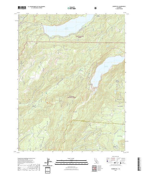
1953 Bunker Hill
Placer County, CA
1953 Granite Chief
Placer County, CA
1953 Granite Chief
Placer County, CA
1953 Pleasant Grove
Placer County, CA
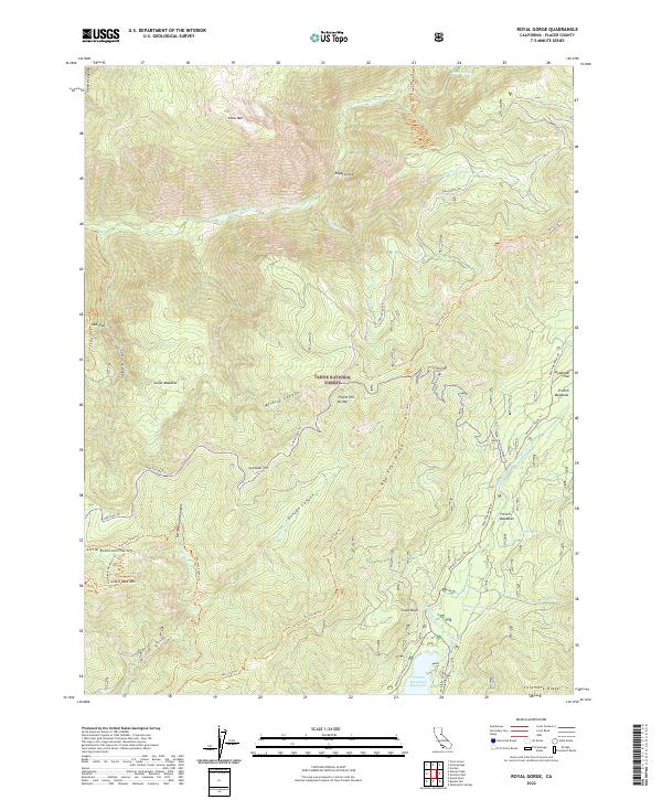
1953 Royal Gorge
Placer County, CA
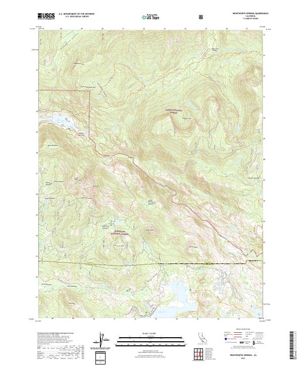
1953 Wentworth Springs
Placer County, CA

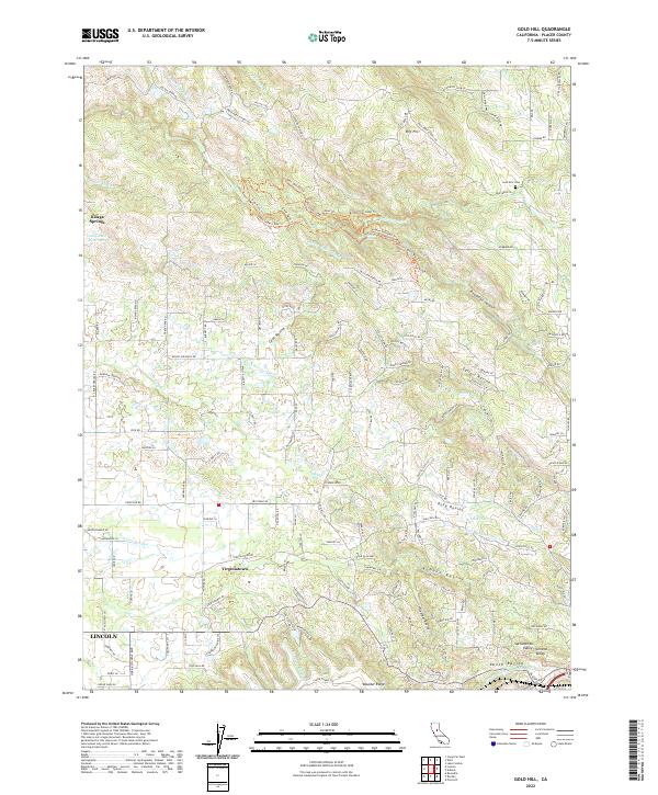
1954 Gold Hill
Placer County, CA

1955 Homewood
Placer County, CA
1955 Martis Peak
Placer County, CA
1955 Norden
Placer County, CA
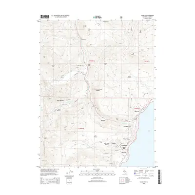
1955 Tahoe City
Placer County, CA
1955 Tahoe
Placer County, CA
1967 Pleasant Grove
Placer County, CA

1992 Homewood
Placer County, CA

1992 Martis Peak
Placer County, CA
1992 Tahoe City
Placer County, CA
2000 Duncan Peak
Placer County, CA

2000 Granite Chief
Placer County, CA
2000 Greek Store
Placer County, CA

2000 Michigan Bluff
Placer County, CA

2000 Norden
Placer County, CA

2000 Royal Gorge
Placer County, CA

2000 Westville
Placer County, CA
2012 Bunker Hill
Placer County, CA
2012 Devil Peak
Placer County, CA
2012 Duncan Peak
Placer County, CA
2012 Gold Hill
Placer County, CA
2012 Granite Chief
Placer County, CA
2012 Greek Store
Placer County, CA
2012 Homewood
Placer County, CA
2012 Martis Peak
Placer County, CA
2012 Michigan Bluff
Placer County, CA
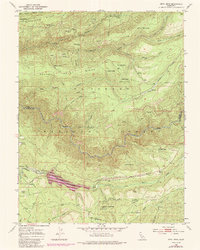
2012 Norden
Placer County, CA
2012 Pleasant Grove
Placer County, CA

2012 Royal Gorge
Placer County, CA
2012 Tahoe City
Placer County, CA
2012 Wentworth Springs
Placer County, CA
2012 Westville
Placer County, CA
2015 Bunker Hill
Placer County, CA
2015 Devil Peak
Placer County, CA

2015 Duncan Peak
Placer County, CA
2015 Gold Hill
Placer County, CA
2015 Granite Chief
Placer County, CA
2015 Greek Store
Placer County, CA
2015 Homewood
Placer County, CA
2015 Martis Peak
Placer County, CA
2015 Michigan Bluff
Placer County, CA
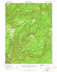
2015 Norden
Placer County, CA
2015 Pleasant Grove
Placer County, CA
2015 Royal Gorge
Placer County, CA
2015 Tahoe City
Placer County, CA
2015 Wentworth Springs
Placer County, CA
2015 Westville
Placer County, CA
2018 Bunker Hill
Placer County, CA
2018 Devil Peak
Placer County, CA
2018 Duncan Peak
Placer County, CA

2018 Gold Hill
Placer County, CA
2018 Granite Chief
Placer County, CA
2018 Greek Store
Placer County, CA
2018 Homewood
Placer County, CA
2018 Martis Peak
Placer County, CA
2018 Michigan Bluff
Placer County, CA
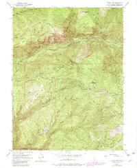
2018 Norden
Placer County, CA
2018 Pleasant Grove
Placer County, CA
2018 Royal Gorge
Placer County, CA
2018 Tahoe City
Placer County, CA
2018 Wentworth Springs
Placer County, CA
2018 Westville
Placer County, CA
2021 Bunker Hill
Placer County, CA
2021 Devil Peak
Placer County, CA
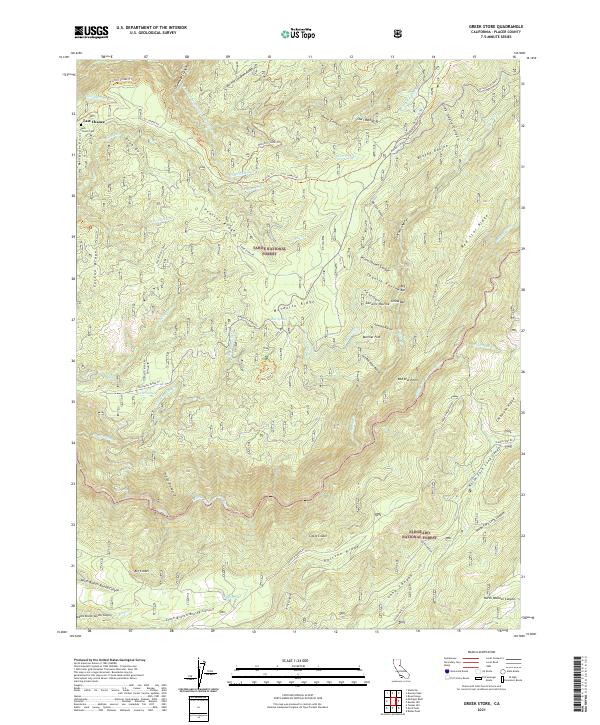
2021 Greek Store
Placer County, CA
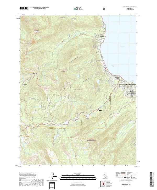
2021 Homewood
Placer County, CA
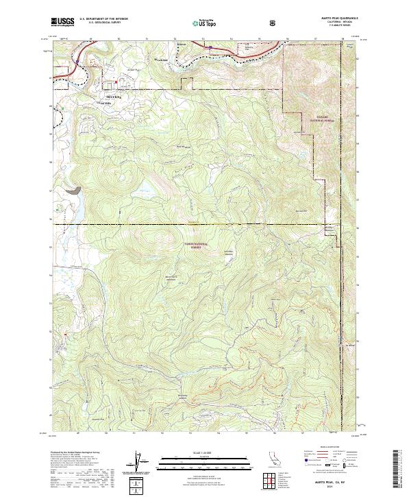
2021 Martis Peak
Placer County, CA
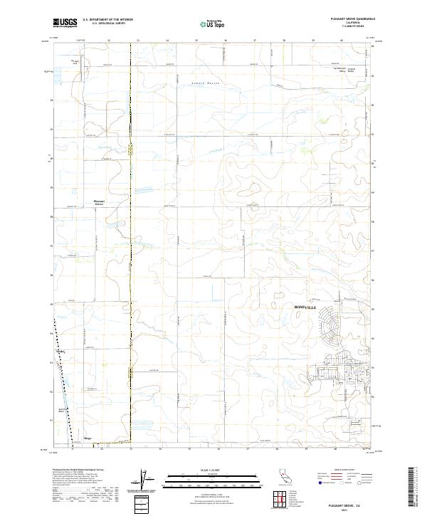
2021 Pleasant Grove
Placer County, CA
2021 Tahoe City
Placer County, CA
2021 Wentworth Springs
Placer County, CA
2022 Duncan Peak
Placer County, CA
2022 Gold Hill
Placer County, CA
2022 Granite Chief
Placer County, CA
2022 Michigan Bluff
Placer County, CA
2022 Norden
Placer County, CA
2022 Royal Gorge
Placer County, CA
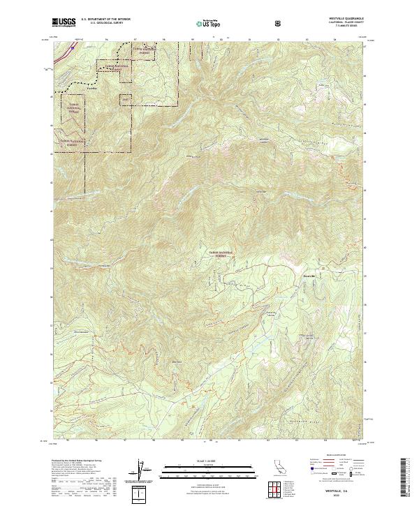
2022 Westville
Placer County, CA
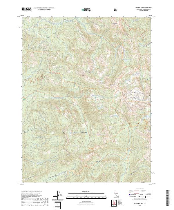
2023 Granite Chief
Placer County, CA
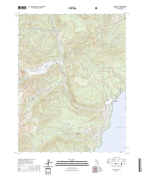
2023 Tahoe City
Placer County, CA