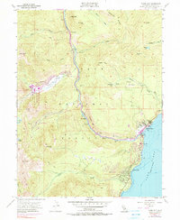
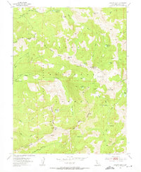
1955 Map of Tahoe City
USGS Topo · Published 1990About this map
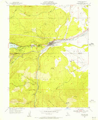
Lake Tahoe meets the shoreline at Tahoe City, a central hub in this mid-century survey where the Truckee River begins its journey through the Sierra Nevada. The map documents a landscape of recreation and early Alpine development, featuring the Squaw Valley State Recreation Area and the winding course of Squaw Creek. Settlement patterns are visible in the layout of Sunnyside and the smaller outpost at Rampart, while the presence of the Tahoe Lake Sch and local Cem ground the area's permanent community history.
Find a feature on this map
50 named features on this map. Tap any name to fly to it.
Don’t see what you’re looking for? This feature index may not catch every label — zoom into the map to look around manually.
Map Details
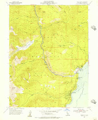
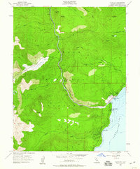
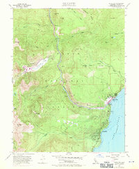
Editions of this 1955 Tahoe City Map
4 editions found
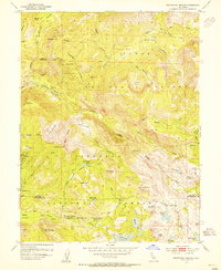
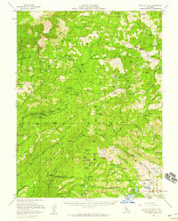
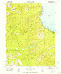
Other maps of this area

1891 · Truckee
USGS Topo · 1:125,000

1893 · Truckee
USGS Topo · 1:125,000

1895 · Truckee
USGS Topo · 1:125,000

1932 · Truckee
USGS Topo · 1:96,000

1940 · Truckee
USGS Topo · 1:125,000
1953 · Granite Chief
USGS Topo · 1:24,000
1953 · Wentworth Springs
USGS Topo · 1:24,000
1953 · Granite Chief
USGS Topo · 1:62,500
1955 · Homewood
USGS Topo · 1:24,000
1955 · Truckee
USGS Topo · 1:24,000