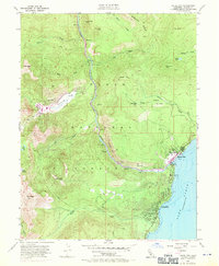
1955 Map of Tahoe City
USGS Topo · Published 1971About this map
Tahoe City serves as the focal point of this mid-century survey, situated at the northwest corner of Lake Tahoe where the Truckee River begins its descent. The landscape is defined by the sharp transition from the lake shore to the surrounding peaks of the Tahoe National Forest. In the western portion of the map, the development of Squaw Valley and Alpine Meadows is visible, reflecting the era's growing focus on winter recreation. Local life is anchored by landmarks such as the Tahoe Lake Sch, a small Cem, and the shoreline Tahoe State Park. Higher elevations are marked by remote outposts like Bear Trap Cabin and named summits including Mt Pluto, Mt Watson, and Ward Peak. The 1969 purple revisions highlight the expanding infrastructure of trailer parks and new roads as the region transformed from a timber and river outpost into a premier destination.
Find a feature on this map
42 named features on this map. Tap any name to fly to it.
Don’t see what you’re looking for? This feature index may not catch every label — zoom into the map to look around manually.
Map Details
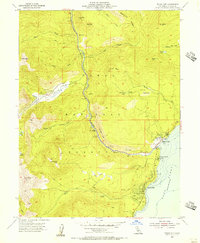
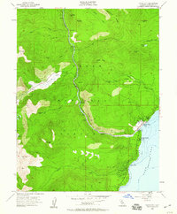
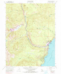
Editions of this 1955 Tahoe City Map
4 editions found
Other maps of this area

1891 · Truckee
USGS Topo · 1:125,000

1893 · Truckee
USGS Topo · 1:125,000

1895 · Truckee
USGS Topo · 1:125,000

1932 · Truckee
USGS Topo · 1:96,000

1940 · Truckee
USGS Topo · 1:125,000

1953 · Granite Chief
USGS Topo · 1:24,000
1953 · Wentworth Springs
USGS Topo · 1:24,000

1953 · Granite Chief
USGS Topo · 1:62,500
1955 · Homewood
USGS Topo · 1:24,000

1955 · Truckee
USGS Topo · 1:24,000