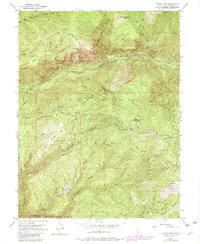
1952 Map of Duncan Peak
USGS Topo · Published 1982About this map
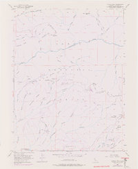
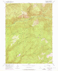
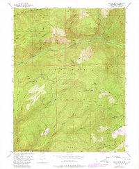
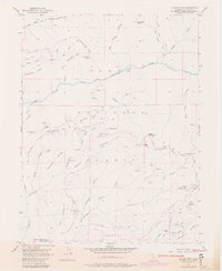
The Tahoe National Forest landscape depicted here is dominated by the steep drainage of the North Fork American River, showcasing a high-elevation terrain shaped by early gold-seeking ventures and later timber and recreation management. Mining history is deeply etched into the geography, evidenced by numerous subterranean workings such as the Golden Fleece Tunnel, Union Tunnel, and the Macedon Mine. These operations were often connected by complex water systems like the Iowa Hill Ditch (Aband), reflecting the industrial effort required to extract minerals from the deep canyons. High points such as Duncan Peak and Big Valley Bluff feature established lookouts, providing strategic vantage points over the surrounding ridges and the North Fork Middle Fork American R. A network of historic footpaths, including the Mumford Bar Trail and Beacroft Trail, links the riverbanks to the high ridges of Mosquito Ridge and Sawtooth Ridge.
Find a feature on this map
92 named features on this map. Tap any name to fly to it.
Don’t see what you’re looking for? This feature index may not catch every label — zoom into the map to look around manually.
Map Details
Editions of this 1952 Duncan Peak Map
8 editions found
Other maps of this area

1891 · Colfax
USGS Topo · 1:125,000

1891 · Truckee
USGS Topo · 1:125,000

1892 · Colfax
USGS Topo · 1:125,000

1893 · Truckee
USGS Topo · 1:125,000

1894 · Colfax
USGS Topo · 1:125,000

1895 · Truckee
USGS Topo · 1:125,000

1898 · Colfax
USGS Topo · 1:125,000

1900 · Colfax
USGS Topo · 1:125,000

1902 · Colfax
USGS Topo · 1:125,000

1932 · Truckee
USGS Topo · 1:96,000