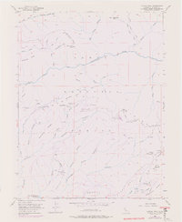
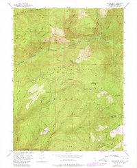
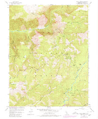
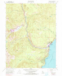
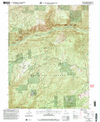
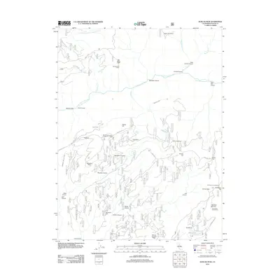
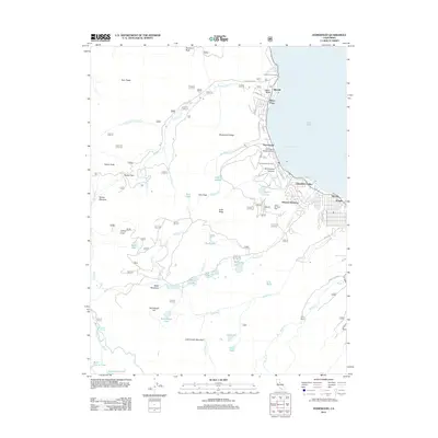
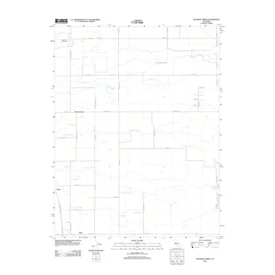
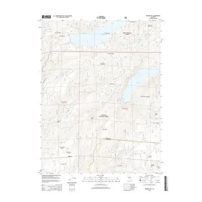
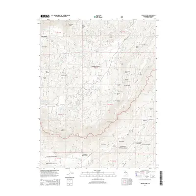
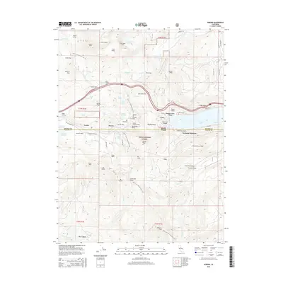
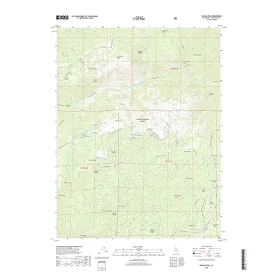
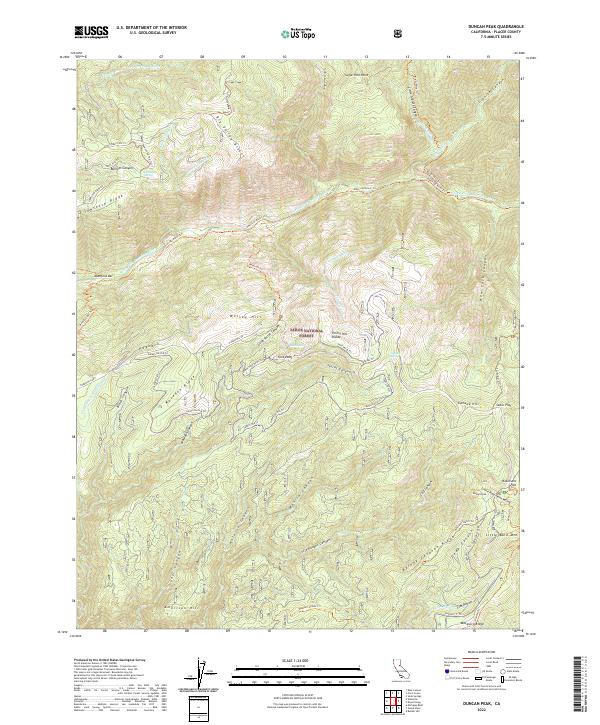
1952 Map of Duncan Peak
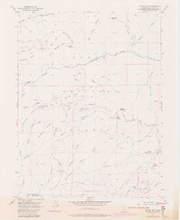
USGS Topo · Published 1976About this map
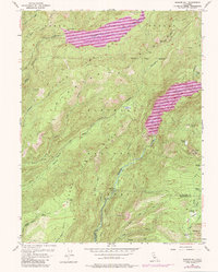
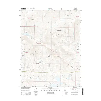
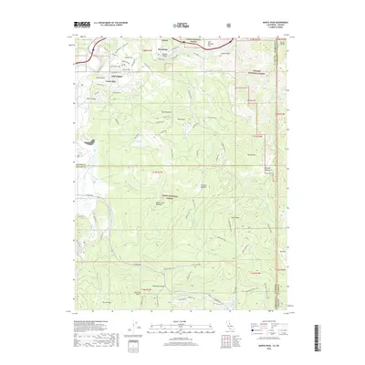
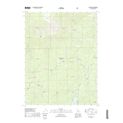
Mining operations and historical lookouts characterize this rugged stretch of the Sierra Nevada within Tahoe National Forest. The landscape is etched with the physical remnants of hydraulic and hard-rock gold mining, including the Macedon Mine, American Hill Mine, and Merz Mine. A complex system of tunnels such as the Golden Fleece Tunnel and Hogsback Tunnel puncture the ridges, while the American Hill Mine Reservoir and various segments of the Ditch network illustrate the massive water-moving infrastructure required for these claims. Higher elevations are marked by the Big Valley Bluff Lookout (Aban'd) and Duncan Peak Lookout (Aban'd), showing a shift in forest management as these fire-watch stations became abandoned. Along the North Fork American River, small landings like Mumford Bar and isolated structures like the Secret House provide points of reference for researchers tracing the old trail systems through the deep canyons.
Find a feature on this map
69 named features on this map. Tap any name to fly to it.
Don’t see what you’re looking for? This feature index may not catch every label — zoom into the map to look around manually.
Map Details
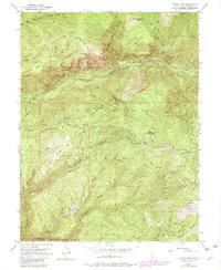
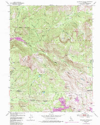
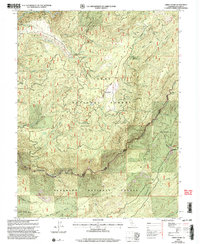
Editions of this 1952 Duncan Peak Map
8 editions found

Historical Maps of Placer County Through Time
93 maps found
1910 Pleasant Grove
Placer County, CA

1942 Markham Ravine
Placer County, CA
1950 Devil Peak
Placer County, CA
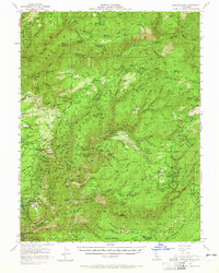
1952 Duncan Peak
Placer County, CA
1952 Duncan Peak
Placer County, CA

1952 Greek Store
Placer County, CA
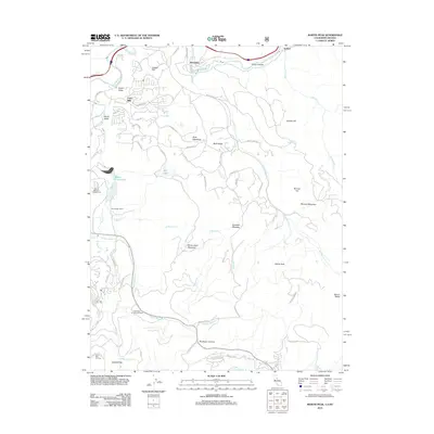
1952 Michigan Bluff
Placer County, CA
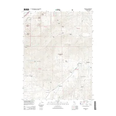
1952 Westville
Placer County, CA
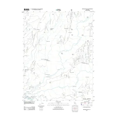
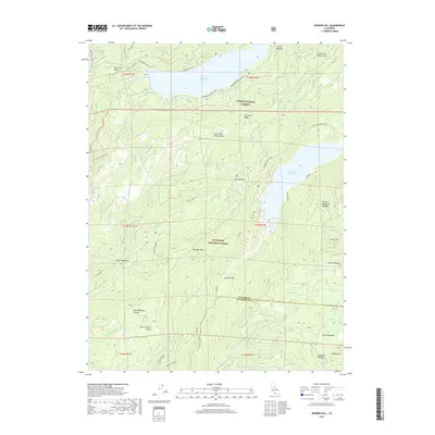
1953 Bunker Hill
Placer County, CA
1953 Granite Chief
Placer County, CA
1953 Granite Chief
Placer County, CA
1953 Pleasant Grove
Placer County, CA
1953 Royal Gorge
Placer County, CA
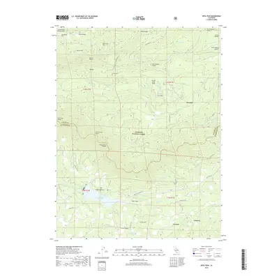
1953 Wentworth Springs
Placer County, CA

1954 Gold Hill
Placer County, CA

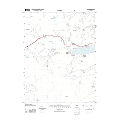
1955 Homewood
Placer County, CA
1955 Martis Peak
Placer County, CA
1955 Norden
Placer County, CA
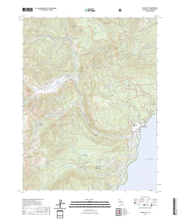
1955 Tahoe City
Placer County, CA
1955 Tahoe
Placer County, CA
1967 Pleasant Grove
Placer County, CA

1992 Homewood
Placer County, CA

1992 Martis Peak
Placer County, CA
1992 Tahoe City
Placer County, CA
2000 Duncan Peak
Placer County, CA

2000 Granite Chief
Placer County, CA
2000 Greek Store
Placer County, CA

2000 Michigan Bluff
Placer County, CA

2000 Norden
Placer County, CA

2000 Royal Gorge
Placer County, CA

2000 Westville
Placer County, CA
2012 Bunker Hill
Placer County, CA
2012 Devil Peak
Placer County, CA
2012 Duncan Peak
Placer County, CA
2012 Gold Hill
Placer County, CA
2012 Granite Chief
Placer County, CA
2012 Greek Store
Placer County, CA
2012 Homewood
Placer County, CA
2012 Martis Peak
Placer County, CA
2012 Michigan Bluff
Placer County, CA
2012 Norden
Placer County, CA
2012 Pleasant Grove
Placer County, CA

2012 Royal Gorge
Placer County, CA
2012 Tahoe City
Placer County, CA
2012 Wentworth Springs
Placer County, CA
2012 Westville
Placer County, CA
2015 Bunker Hill
Placer County, CA
2015 Devil Peak
Placer County, CA

2015 Duncan Peak
Placer County, CA
2015 Gold Hill
Placer County, CA
2015 Granite Chief
Placer County, CA
2015 Greek Store
Placer County, CA
2015 Homewood
Placer County, CA
2015 Martis Peak
Placer County, CA
2015 Michigan Bluff
Placer County, CA
2015 Norden
Placer County, CA
2015 Pleasant Grove
Placer County, CA
2015 Royal Gorge
Placer County, CA
2015 Tahoe City
Placer County, CA
2015 Wentworth Springs
Placer County, CA
2015 Westville
Placer County, CA
2018 Bunker Hill
Placer County, CA
2018 Devil Peak
Placer County, CA
2018 Duncan Peak
Placer County, CA

2018 Gold Hill
Placer County, CA
2018 Granite Chief
Placer County, CA
2018 Greek Store
Placer County, CA
2018 Homewood
Placer County, CA
2018 Martis Peak
Placer County, CA
2018 Michigan Bluff
Placer County, CA
2018 Norden
Placer County, CA
2018 Pleasant Grove
Placer County, CA
2018 Royal Gorge
Placer County, CA
2018 Tahoe City
Placer County, CA
2018 Wentworth Springs
Placer County, CA
2018 Westville
Placer County, CA
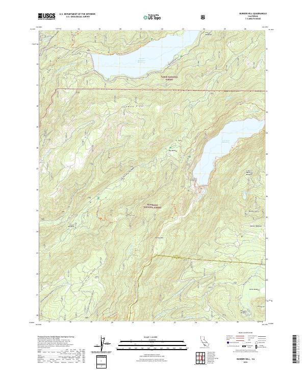
2021 Bunker Hill
Placer County, CA
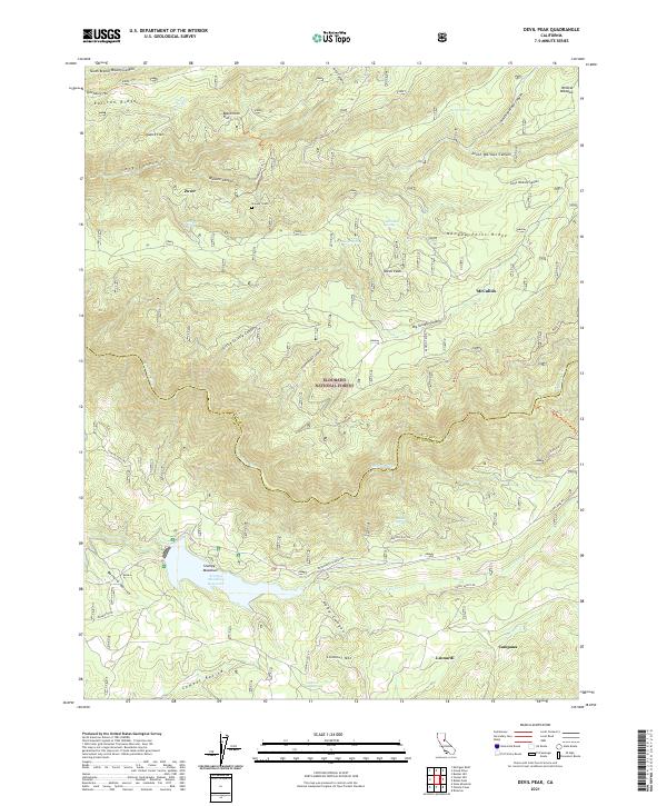
2021 Devil Peak
Placer County, CA
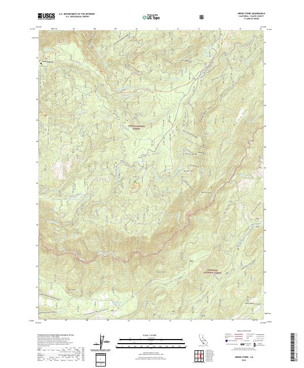
2021 Greek Store
Placer County, CA
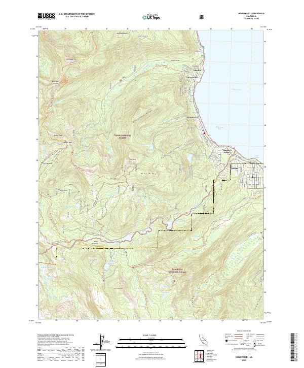
2021 Homewood
Placer County, CA
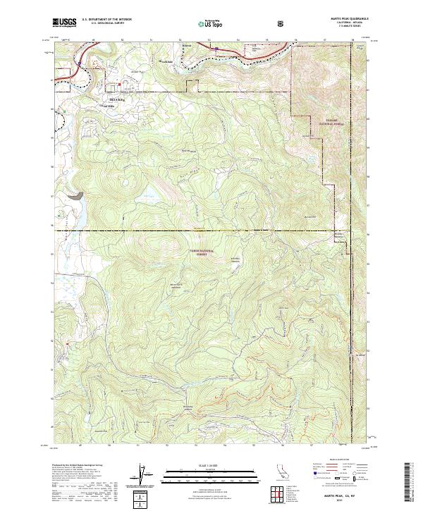
2021 Martis Peak
Placer County, CA
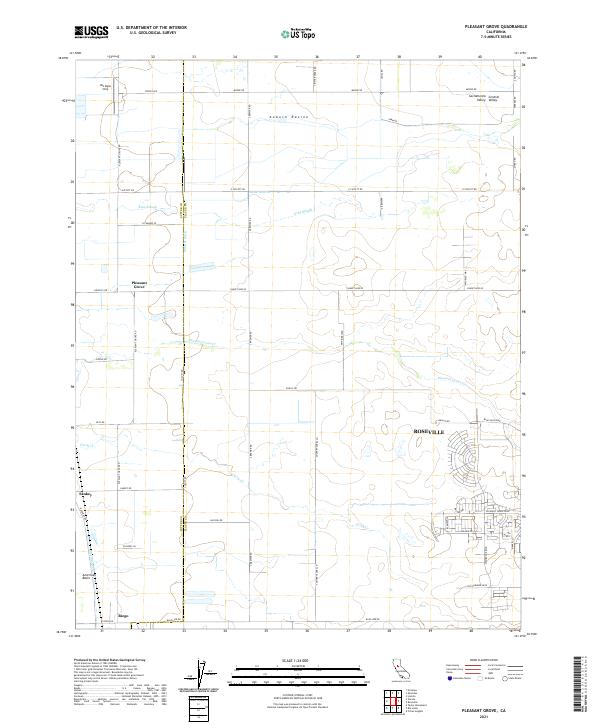
2021 Pleasant Grove
Placer County, CA
2021 Tahoe City
Placer County, CA
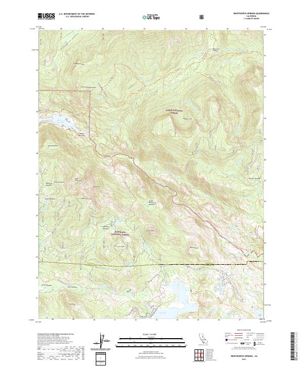
2021 Wentworth Springs
Placer County, CA
2022 Duncan Peak
Placer County, CA
2022 Gold Hill
Placer County, CA
2022 Granite Chief
Placer County, CA
2022 Michigan Bluff
Placer County, CA
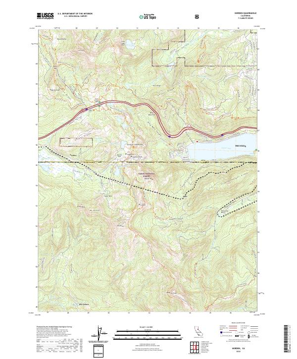
2022 Norden
Placer County, CA
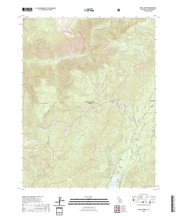
2022 Royal Gorge
Placer County, CA
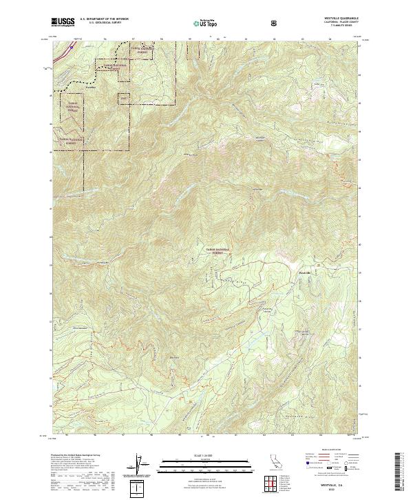
2022 Westville
Placer County, CA
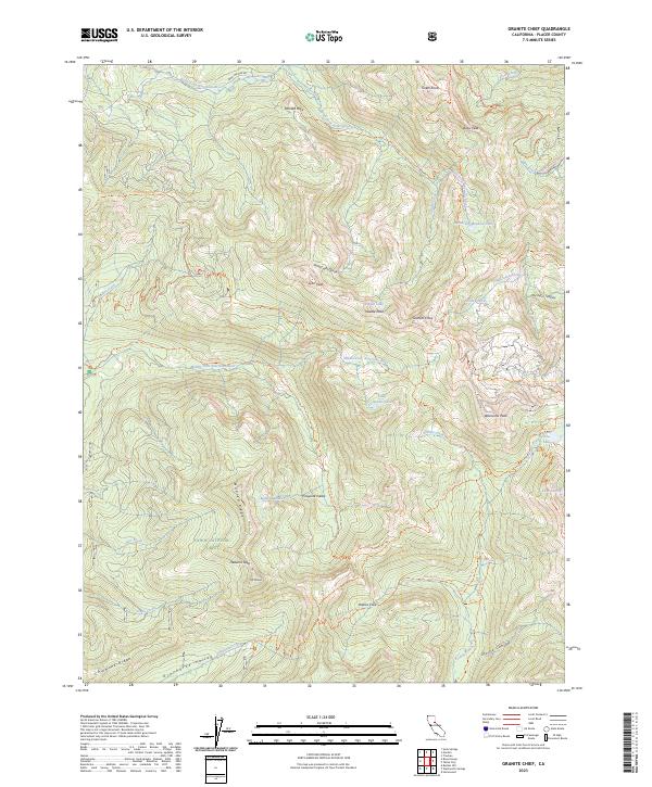
2023 Granite Chief
Placer County, CA
2023 Tahoe City
Placer County, CA