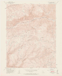
1952 Map of Duncan Peak
USGS Topo · Published 1963About this map
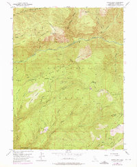
Tahoe National Forest encompasses this high-altitude landscape in the mid-20th century, defined by its legacy of hard-rock mining and hydraulic engineering. Deep canyons like Secret Canyon and Antoine Canyon separate prominent ridges, including Macedon Ridge and Hogback Ridge. The area's industrial history is etched into the terrain through a network of water-management systems, such as the Iowa Hill Ditch and the American Mine Ditch, which once fed the region's numerous mining operations. Evidence of the gold-seeking era is widespread, from the Golden Fleece Tunnel and Union Tunnel to the Savage Workings and the Macedon Mine. The transition of the landscape toward forestry and recreation is visible in the presence of the Tadpole Campground and several high-altitude watchpoints, including the Big Valley Bluff Lookout and the Duncan Peak Lookout, both marked as abandoned by the early 1950s.
Find a feature on this map
67 named features on this map. Tap any name to fly to it.
Don’t see what you’re looking for? This feature index may not catch every label — zoom into the map to look around manually.
Map Details
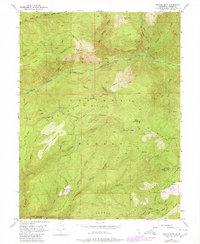
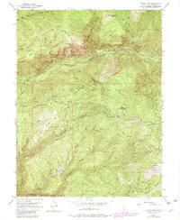
Editions of this 1952 Duncan Peak Map
8 editions found
Other maps of this area

1891 · Colfax
USGS Topo · 1:125,000

1891 · Truckee
USGS Topo · 1:125,000

1892 · Colfax
USGS Topo · 1:125,000

1893 · Truckee
USGS Topo · 1:125,000

1894 · Colfax
USGS Topo · 1:125,000

1895 · Truckee
USGS Topo · 1:125,000

1898 · Colfax
USGS Topo · 1:125,000

1900 · Colfax
USGS Topo · 1:125,000

1902 · Colfax
USGS Topo · 1:125,000

1932 · Truckee
USGS Topo · 1:96,000