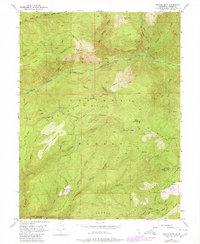
1952 Map of Duncan Peak
USGS Topo · Published 1980About this map
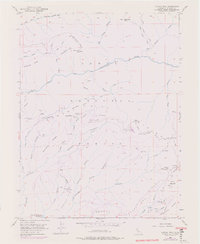
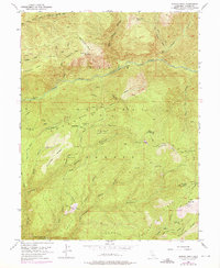
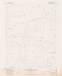
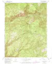
Tahoe National Forest landscape within the Sierra Nevada is defined by a deep network of canyons and mining infrastructure from the mid-twentieth century and earlier. The map reveals the intricate engineering of the gold-mining era, showing numerous subterranean features like the Golden Fleece Tunnel, Hogback Tunnel, and Union Tunnel alongside surface operations at the Macedon Mine and American Hill Mine. Water management for these operations is evident through the winding Iowa Hill Ditch and the American Hill Reservoir. High-altitude surveillance is centered on the Duncan Peak Lookout Tower and the now-labeled Big Valley Bluff Lookout Tower (Aband), which survey the steep drainages of the North Fork American River and the many ravines carving through Macedon Ridge and Whisky Hill.
Find a feature on this map
65 named features on this map. Tap any name to fly to it.
Don’t see what you’re looking for? This feature index may not catch every label — zoom into the map to look around manually.
Map Details
Editions of this 1952 Duncan Peak Map
8 editions found
Other maps of this area

1891 · Colfax
USGS Topo · 1:125,000

1891 · Truckee
USGS Topo · 1:125,000

1892 · Colfax
USGS Topo · 1:125,000

1893 · Truckee
USGS Topo · 1:125,000

1894 · Colfax
USGS Topo · 1:125,000

1895 · Truckee
USGS Topo · 1:125,000

1898 · Colfax
USGS Topo · 1:125,000

1900 · Colfax
USGS Topo · 1:125,000

1902 · Colfax
USGS Topo · 1:125,000

1932 · Truckee
USGS Topo · 1:96,000