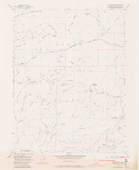
1952 Map of Duncan Peak
USGS Topo · Published 1980About this map
Whisky Hill and the surrounding gold-bearing ridges dominate this mid-century survey of the Tahoe National Forest high country. The landscape is a complex network of hydraulic mining infrastructure and subterranean workings, evidenced by the Iowa Hill Ditch winding across the slopes and several named bores such as Hogsback Tunnel and Golden Fleece Tunnel. Mining operations are scattered throughout the drainages, with the American Hill Mine and Macedon Mine marking areas of significant historical extraction.
Find a feature on this map
73 named features on this map. Tap any name to fly to it.
Don’t see what you’re looking for? This feature index may not catch every label — zoom into the map to look around manually.
Map Details
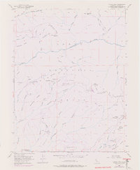
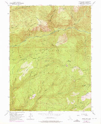
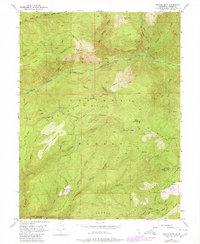
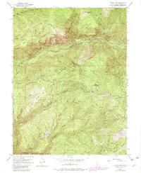
Editions of this 1952 Duncan Peak Map
8 editions found
Other maps of this area

1891 · Colfax
USGS Topo · 1:125,000

1891 · Truckee
USGS Topo · 1:125,000

1892 · Colfax
USGS Topo · 1:125,000

1893 · Truckee
USGS Topo · 1:125,000

1894 · Colfax
USGS Topo · 1:125,000

1895 · Truckee
USGS Topo · 1:125,000

1898 · Colfax
USGS Topo · 1:125,000

1900 · Colfax
USGS Topo · 1:125,000

1902 · Colfax
USGS Topo · 1:125,000

1932 · Truckee
USGS Topo · 1:96,000