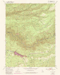
1950 Map of Devil Peak
USGS Topo · Published 1992About this map
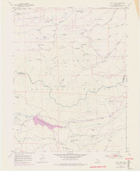
Stumpy Meadows Lake serves as a focal point in this high-altitude landscape where the Rubicon River carves through the El Dorado National Forest. The geography is defined by a legacy of resource extraction and early ranching, evidenced by numerous inactive sites such as the Zuver Mine and the Pigeon Roost Mine. These mountain workings are connected by infrastructure like the Georgetown Divide Ditch and an old railroad grade, illustrating how water and timber were managed across the ridges.
Find a feature on this map
63 named features on this map. Tap any name to fly to it.
Don’t see what you’re looking for? This feature index may not catch every label — zoom into the map to look around manually.
Map Details
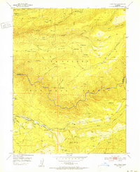
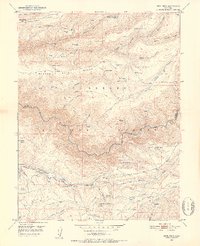
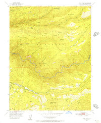
Editions of this 1950 Devil Peak Map
7 editions found
Other maps of this area

1889 · Pyramid Peak
USGS Topo · 1:125,000

1891 · Colfax
USGS Topo · 1:125,000

1891 · Truckee
USGS Topo · 1:125,000

1891 · Placerville
USGS Topo · 1:125,000

1891 · Pyramid Peak
USGS Topo · 1:125,000

1892 · Placerville
USGS Topo · 1:125,000

1892 · Colfax
USGS Topo · 1:125,000

1893 · Placerville
USGS Topo · 1:125,000

1893 · Truckee
USGS Topo · 1:125,000

1894 · Colfax
USGS Topo · 1:125,000