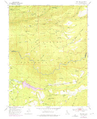
1950 Map of Devil Peak
USGS Topo · Published 1975About this map
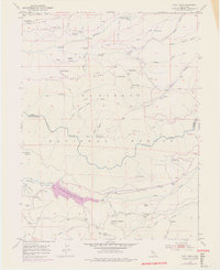
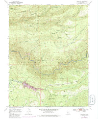
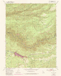
The Rubicon River carves a deep path through the Eldorado National Forest in this mid-century survey, which reveals a landscape defined by mining history and nascent water management. Gold and silver prospects like the Clydesdale Mine and Zuver Mine appear in an inactive state, indicating a shift away from the region's 19th-century boom toward modern infrastructure. The 1973 revisions highlight the emergence of Stumpy Meadows Lake, formed by a dam on Pilot Creek. This reservoir altered the local topography near Bacchi Ranch and the Eleven Pines settlement. Historical traces remain visible through the numerous trails and an old Railroad Grade winding near Lookout Mountain, while small outposts like Leonardi and Camp Ten reflect the area's timber and ranching roots.
Find a feature on this map
65 named features on this map. Tap any name to fly to it.
Don’t see what you’re looking for? This feature index may not catch every label — zoom into the map to look around manually.
Map Details
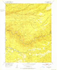
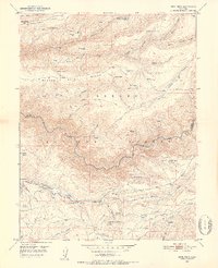
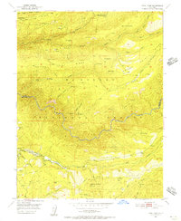
Editions of this 1950 Devil Peak Map
7 editions found
Other maps of this area

1889 · Pyramid Peak
USGS Topo · 1:125,000

1891 · Colfax
USGS Topo · 1:125,000

1891 · Truckee
USGS Topo · 1:125,000

1891 · Placerville
USGS Topo · 1:125,000

1891 · Pyramid Peak
USGS Topo · 1:125,000

1892 · Placerville
USGS Topo · 1:125,000

1892 · Colfax
USGS Topo · 1:125,000

1893 · Placerville
USGS Topo · 1:125,000

1893 · Truckee
USGS Topo · 1:125,000

1894 · Colfax
USGS Topo · 1:125,000