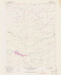
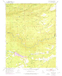
1950 Map of Devil Peak
USGS Topo · Published 1975About this map
Eldorado National Forest terrain defines this mid-century survey, dominated by the deep canyons of the Rubicon River and its tributaries. The landscape is marked by a legacy of resource extraction, seen in the numerous dormant sites such as the Clydesdale Mine, Zuver Mine, and Pigeon Roost Mine. These are connected by a network of historic paths including the Cockrin Trail and Pigeon Trail, as well as an Old Railroad Grade winding near Lookout Mountain.
Find a feature on this map
58 named features on this map. Tap any name to fly to it.
Don’t see what you’re looking for? This feature index may not catch every label — zoom into the map to look around manually.
Map Details
Editions of this 1950 Devil Peak Map
7 editions found
Other maps of this area

1889 · Pyramid Peak
USGS Topo · 1:125,000

1891 · Colfax
USGS Topo · 1:125,000

1891 · Truckee
USGS Topo · 1:125,000

1891 · Placerville
USGS Topo · 1:125,000

1891 · Pyramid Peak
USGS Topo · 1:125,000

1892 · Placerville
USGS Topo · 1:125,000

1892 · Colfax
USGS Topo · 1:125,000

1893 · Placerville
USGS Topo · 1:125,000

1893 · Truckee
USGS Topo · 1:125,000

1894 · Colfax
USGS Topo · 1:125,000