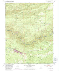
1950 Map of Devil Peak
USGS Topo · Published 1986About this map
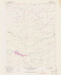
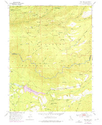
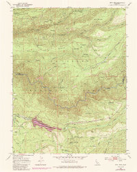
Eldorado National Forest defines the landscape of this high-country survey, where the rugged terrain between Ralston Ridge and Nevada Point Ridge is carved by the deep path of the Rubicon River. The map captures a moment of transition for this remote part of the Sierra Nevada, documenting the legacy of resource extraction alongside mid-century water management. The presence of several non-producing sites, such as the Clydesdale Mine and Pigeon Roost Mine, reflects an era of shifting industrial focus, while the formation of Stumpy Meadows Lake and the Bacchi Ranch Reservoir indicate the growing importance of regional water storage.
Find a feature on this map
45 named features on this map. Tap any name to fly to it.
Don’t see what you’re looking for? This feature index may not catch every label — zoom into the map to look around manually.
Map Details
Editions of this 1950 Devil Peak Map
7 editions found
Other maps of this area

1889 · Pyramid Peak
USGS Topo · 1:125,000

1891 · Colfax
USGS Topo · 1:125,000

1891 · Truckee
USGS Topo · 1:125,000

1891 · Placerville
USGS Topo · 1:125,000

1891 · Pyramid Peak
USGS Topo · 1:125,000

1892 · Placerville
USGS Topo · 1:125,000

1892 · Colfax
USGS Topo · 1:125,000

1893 · Placerville
USGS Topo · 1:125,000

1893 · Truckee
USGS Topo · 1:125,000

1894 · Colfax
USGS Topo · 1:125,000