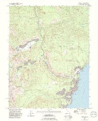
1992 Map of Tahoe City
USGS Topo · Published 1994About this map
The Truckee River snakes through the center of this mountain landscape, following a path from Lake Tahoe toward the northern peaks. At the dawn of the 1990s, the region shows a complex mix of recreation and preservation, where established settlements like Tahoe City and Sunnyside sit adjacent to expansive protected lands. The map details the infrastructure of the era's growing tourism economy, including the Squaw Valley USA and Alpine Meadows complexes, alongside the developed Golf Course and the Tahoe Lake Sch.
Find a feature on this map
45 named features on this map. Tap any name to fly to it.
Don’t see what you’re looking for? This feature index may not catch every label — zoom into the map to look around manually.
Map Details
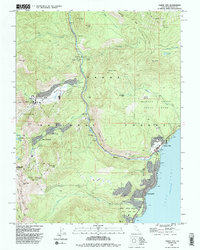
Editions of this 1992 Tahoe City Map
2 editions found
Other maps of this area

1891 · Truckee
USGS Topo · 1:125,000

1893 · Truckee
USGS Topo · 1:125,000

1895 · Truckee
USGS Topo · 1:125,000

1932 · Truckee
USGS Topo · 1:96,000

1940 · Truckee
USGS Topo · 1:125,000

1953 · Granite Chief
USGS Topo · 1:24,000
1953 · Wentworth Springs
USGS Topo · 1:24,000

1953 · Granite Chief
USGS Topo · 1:62,500
1955 · Homewood
USGS Topo · 1:24,000

1955 · Truckee
USGS Topo · 1:24,000