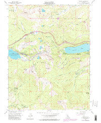
1955 Map of Norden
USGS Topo · Published 1980About this map
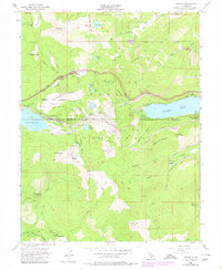
Donner Pass stands as the central pivot of this Sierra Nevada landscape, where the historic transit corridor of the Southern Pacific railroad traverses the crest through a complex system of snowsheds and a Railroad Tunnel. The map details a high-altitude wilderness at the junction of Nevada and Placer counties, revealing the early development of winter recreation at Sugar Bowl and the Norden area. Settlement is sparse and focused on transit and forestry, evidenced by the Old Stanford Wood Camp (Site) and the isolated community of The Cedars.
Find a feature on this map
71 named features on this map. Tap any name to fly to it.
Don’t see what you’re looking for? This feature index may not catch every label — zoom into the map to look around manually.
Map Details
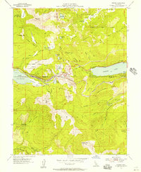
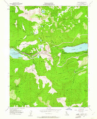
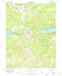
Editions of this 1955 Norden Map
5 editions found
Other maps of this area

1891 · Truckee
USGS Topo · 1:125,000

1893 · Truckee
USGS Topo · 1:125,000

1895 · Truckee
USGS Topo · 1:125,000

1932 · Truckee
USGS Topo · 1:96,000

1940 · Truckee
USGS Topo · 1:125,000

1953 · Granite Chief
USGS Topo · 1:24,000
1953 · Royal Gorge
USGS Topo · 1:24,000

1953 · Granite Chief
USGS Topo · 1:62,500

1955 · Truckee
USGS Topo · 1:24,000
1955 · Tahoe City
USGS Topo · 1:24,000