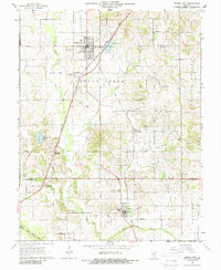
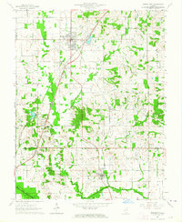
1963 Map of Norris City
USGS Topo · Published 1988About this map
Norris City serves as a central hub in this Southern Illinois landscape, where the New York Central and Baltimore and Ohio railroads intersect. This 1963 survey captures the area's transition into a significant oil-producing region, with numerous oil wells dotting the farmland between Indian Creek and Bear Creek. The southern portion of the map transitions into the North Fork Saline River basin near Omaha, highlighting a network of rural communities defined by their local institutions. Genealogists will find a high density of country churches and burial grounds, including Union Cem, Odd Fellows Cem, and Mt Oval Ch near Sandy Run Lake. The presence of small rail stops like Gossett Station and Middlepoint (Roland Sta) illustrates the historical reliance on these tracks for moving agricultural goods and personnel across the Heralds Prairie township.
Find a feature on this map
39 named features on this map. Tap any name to fly to it.
Don’t see what you’re looking for? This feature index may not catch every label — zoom into the map to look around manually.
Map Details
Editions of this 1963 Norris City Map
2 editions found
Other maps of this area

1905 · Eldorado
USGS Topo · 1:62,500

1905 · New Haven
USGS Topo · 1:62,500

1906 · New Haven
USGS Topo · 1:62,500

1906 · Eldorado
USGS Topo · 1:62,500

1940 · Carmi
USGS Topo · 1:62,500

1941 · Enfield
USGS Topo · 1:62,500

1943 · Carmi
USGS Topo · 1:62,500

1944 · Enfield
USGS Topo · 1:62,500

1949 · Paducah
USGS Topo · 1:250,000

1949 · New Haven
USGS Topo · 1:62,500