
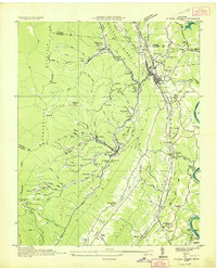
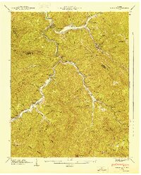
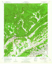
1936 Map of Norris Dam
USGS Topo · Published 1936About this map
The Clinch River dominates this mid-1930s landscape during a period of massive transformation led by the Tennessee Valley Authority. This survey captures the new shoreline of the Norris Reservoir and the carefully planned community of Norris, established to house workers for the nearby dam project. To the west, the rugged topography of Walden Ridge and Cumberland Mountain shelters established coal-mining communities like Briceville, Fraterville, and Coal Creek, connected by the Louisville and Nashville and Southern railroads. The map provides a detailed view of the social infrastructure before modernization fully swept the valley, documenting numerous family burial grounds such as Longfield Cem and Pemberton Cem, alongside rural landmarks like the Clinton Forest Nursery and CCC Camp No 494. Local life centers on the county seat at Clinton and traditional gathering places like Dutch Valley Ch and Taylor Chapel.
Find a feature on this map
96 named features on this map. Tap any name to fly to it.
Don’t see what you’re looking for? This feature index may not catch every label — zoom into the map to look around manually.
Map Details
Editions of this 1936 Norris Dam Map
This is the sole edition of this map. No revisions or reprints were ever made.
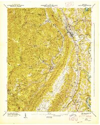
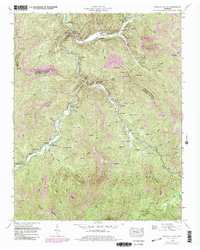
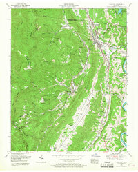
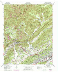
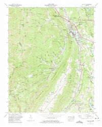
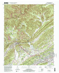
Historical Maps of Broadacres Through Time
16 maps found
1936 Coal Creek
Anderson County, TN
1936 Duncan Flats
Anderson County, TN
1936 Norris Dam
Anderson County, TN
1936 Windrock
Anderson County, TN
1946 Windrock
Anderson County, TN
1947 Duncan Flats
Anderson County, TN
1947 Lake City
Anderson County, TN
1952 Duncan Flats
Anderson County, TN
1952 Lake City
Anderson County, TN
1952 Windrock
Anderson County, TN
1968 Windrock
Anderson County, TN
1973 Lake City
Anderson County, TN
2000 Windrock
Anderson County, TN

2022 Duncan Flats
Anderson County, TN
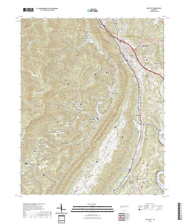
2022 Lake City
Anderson County, TN
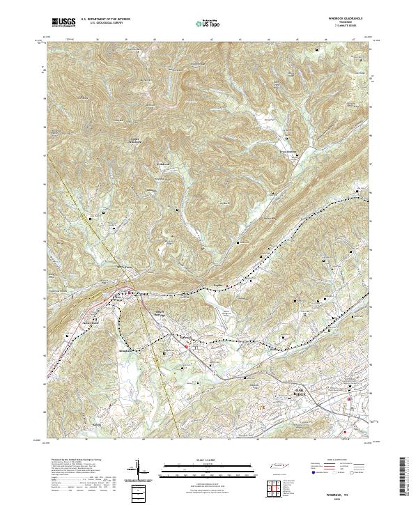
2022 Windrock
Anderson County, TN