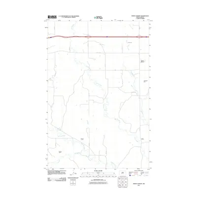
2011 Map of North Almont
USGS Topo · Published 2011About this map
Big Muddy Creek and its winding tributaries, including Scab Creek and Hailstone Creek, define the drainage patterns of this Morton County landscape. At the time of this 2011 survey, the area north of the interstate is characterized by a network of rural section roads such as County Rd-139 and a series of smaller water features like Grube Dam and Muskrat Creek. The terrain transitions from the low-lying Ericson Coulee to the more prominent Schollaert Hills and the Curlew Buttes in the southwest, offering a clear view of the geographic variety in the North Dakota prairie.
Find a feature on this map
21 named features on this map. Tap any name to fly to it.
Don’t see what you’re looking for? This feature index may not catch every label — zoom into the map to look around manually.
Map Details
Editions of this 2011 North Almont Map
This is the sole edition of this map. No revisions or reprints were ever made.
Other maps of this area
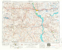
1954 · Bismarck
USGS Topo · 1:250,000
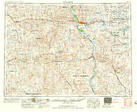
1958 · Bismarck
USGS Topo · 1:250,000
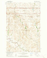
1960 · North Almont
USGS Topo · 1:24,000
1960 · Dengate
USGS Topo · 1:24,000

1960 · New Salem
USGS Topo · 1:24,000
1970 · Bluegrass
USGS Topo · 1:24,000
1970 · New Salem NW
USGS Topo · 1:24,000
1970 · Hailstone Butte
USGS Topo · 1:24,000
1980 · Crown Butte Creek NW
USGS Topo · 1:24,000
1980 · Almont East
USGS Topo · 1:24,000