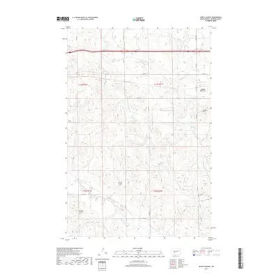
2017 Map of North Almont
USGS Topo · Published 2017About this map
North Almont sits at the edge of a landscape defined by rolling prairie and distinct topographical breaks in Morton County. The drainage patterns of the Missouri River watershed are well-defined here, with Muskrat Cr and Hailstone Cr carving through the terrain. To the south and east, the Schollaert Hills and Curlew Buttes rise above the surrounding flats, offering a look at the natural landmarks that have long oriented travelers in this part of North Dakota. For those researching local heritage, the English Cem near Sims Rd provides a specific point of genealogical interest in an otherwise sparse agricultural region. The map also traces Ericson Coulee, illustrating the intricate coulee systems that manage the seasonal water flow across the township boundaries of t139n r86w and t138n r87w.
Find a feature on this map
26 named features on this map. Tap any name to fly to it.
Don’t see what you’re looking for? This feature index may not catch every label — zoom into the map to look around manually.
Map Details
Editions of this 2017 North Almont Map
This is the sole edition of this map. No revisions or reprints were ever made.
Other maps of this area
1954 · Bismarck
USGS Topo · 1:250,000
1958 · Bismarck
USGS Topo · 1:250,000
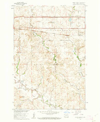
1960 · North Almont
USGS Topo · 1:24,000
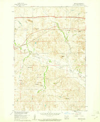
1960 · Dengate
USGS Topo · 1:24,000

1960 · New Salem
USGS Topo · 1:24,000
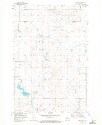
1970 · Bluegrass
USGS Topo · 1:24,000
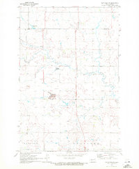
1970 · New Salem NW
USGS Topo · 1:24,000
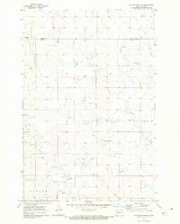
1970 · Hailstone Butte
USGS Topo · 1:24,000
1980 · Crown Butte Creek NW
USGS Topo · 1:24,000
1980 · Almont East
USGS Topo · 1:24,000