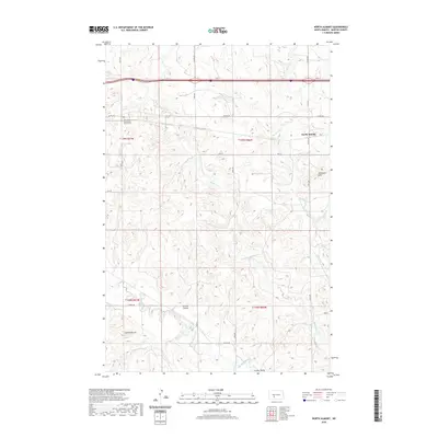
2020 Map of North Almont
USGS Topo · Published 2020About this map
Hailstone Cr and Muskrat Cr carve through the upland terrain of western North Dakota, defining a landscape of coulees and buttes south of the Interstate 94 corridor. The area is anchored by the North Almont settlement in the northeast, while the Friendship Community Church Cem serves as a significant local landmark for genealogical research in this rural township.
Find a feature on this map
22 named features on this map. Tap any name to fly to it.
Don’t see what you’re looking for? This feature index may not catch every label — zoom into the map to look around manually.
Map Details
Editions of this 2020 North Almont Map
This is the sole edition of this map. No revisions or reprints were ever made.
Other maps of this area

1954 · Bismarck
USGS Topo · 1:250,000

1958 · Bismarck
USGS Topo · 1:250,000

1960 · North Almont
USGS Topo · 1:24,000

1960 · Dengate
USGS Topo · 1:24,000

1960 · New Salem
USGS Topo · 1:24,000

1970 · Bluegrass
USGS Topo · 1:24,000

1970 · New Salem NW
USGS Topo · 1:24,000

1970 · Hailstone Butte
USGS Topo · 1:24,000

1980 · Crown Butte Creek NW
USGS Topo · 1:24,000

1980 · Almont East
USGS Topo · 1:24,000