
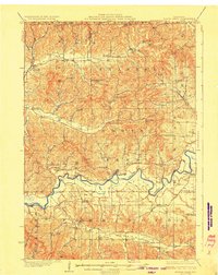
1929 Map of North Bend
USGS Topo · Published 1929About this map
The Black River carves a winding path through the borderlands of Jackson, La Crosse, and Trempealeau Counties, defining a landscape of deep coulees and ridges during the late 1920s. This survey, conducted by J.G. Staack and his team, reveals a rural economy organized around an extensive network of country schools, such as the Little Red Sch and Union Mills Sch, which anchored these upland farming communities.
Find a feature on this map
58 named features on this map. Tap any name to fly to it.
Don’t see what you’re looking for? This feature index may not catch every label — zoom into the map to look around manually.
Map Details
Editions of this 1929 North Bend Map
2 editions found
Other maps of this area

1909 · Sparta
USGS Topo · 1:62,500

1924 · Black River Falls
USGS Topo · 1:62,500

1926 · Black River Falls
USGS Topo · 1:62,500

1926 · North Bend
USGS Topo · 1:62,500

1926 · Whitehall
USGS Topo · 1:62,500

1927 · Blair
USGS Topo · 1:62,500

1927 · La Crosse
USGS Topo · 1:62,500

1928 · Melrose
USGS Topo · 1:48,000

1929 · Whitehall
USGS Topo · 1:62,500

1929 · Galesville
USGS Topo · 1:62,500