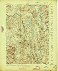
1897 Map of North Creek
USGS Topo · Published 1897About this map
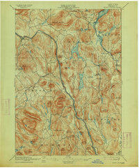
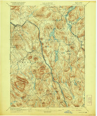
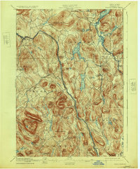
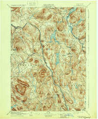
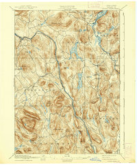
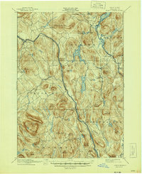
The Delaware and Hudson River Railroad follows the winding path of the Hudson River through this late 19th-century Adirondack landscape, serving as a vital artery for the region's early tourism and timber interests. Settlements such as Pottersville, Chestertown, and North Creek are established hubs connected by a network of secondary roads and trails. The map highlights a transition in travel, noting a Steamboat Route on Schroon Lake and a Ferry crossing the river near Thurman.
Find a feature on this map
74 named features on this map. Tap any name to fly to it.
Don’t see what you’re looking for? This feature index may not catch every label — zoom into the map to look around manually.
Map Details
Editions of this 1897 North Creek Map
10 editions found
Other maps of this area
1895 · North Creek
USGS Topo · 1:62,500
1895 · Paradox Lake
USGS Topo · 1:62,500
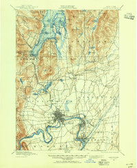
1895 · Glens Falls
USGS Topo · 1:62,500
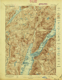
1897 · Bolton
USGS Topo · 1:62,500
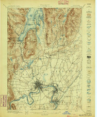
1897 · Glens Falls
USGS Topo · 1:62,500
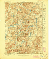
1897 · Paradox Lake
USGS Topo · 1:62,500
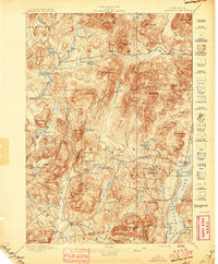
1897 · Schroon Lake
USGS Topo · 1:62,500
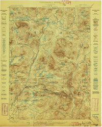
1898 · Newcomb
USGS Topo · 1:62,500
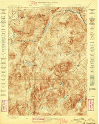
1898 · Thirteenth Lake
USGS Topo · 1:62,500
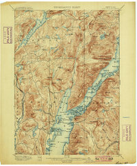
1900 · Bolton
USGS Topo · 1:62,500