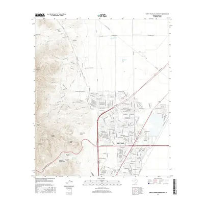
2016 Map of North Franklin Mountain
USGS Topo · Published 2016About this map
North Franklin Mountain dominates the western half of this study, anchoring a high-desert landscape defined by the Franklin Mountains and the sprawling Castner Range. To the east, the urban expansion of El Paso reaches toward the foothills, with established neighborhoods and the Western Technical College campus situated near the arterial Patriot Fwy. The interface between the built environment and the wilderness is marked by a complex network of recreational and access routes, including the Old Tin Mine Road and colorfully named trails like Coyote Ugly and Bad Road.
Find a feature on this map
243 named features on this map. Tap any name to fly to it.
Don’t see what you’re looking for? This feature index may not catch every label — zoom into the map to look around manually.
Map Details
Editions of this 2016 North Franklin Mountain Map
This is the sole edition of this map. No revisions or reprints were ever made.
Other maps of this area

1891 · Las Cruces
USGS Topo · 1:125,000

1893 · Las Cruces
USGS Topo · 1:125,000

1896 · El Paso
USGS Topo · 1:125,000

1908 · El Paso
USGS Topo · 1:125,000

1917 · Canutillo
USGS Topo · 1:62,500

1919 · Canutillo
USGS Topo · 1:62,500

1940 · Newman
USGS Topo · 1:62,500

1941 · El Paso
USGS Topo · 1:31,680

1942 · Fort Bliss
USGS Topo · 1:62,500

1943 · La Mesa
USGS Topo · 1:62,500