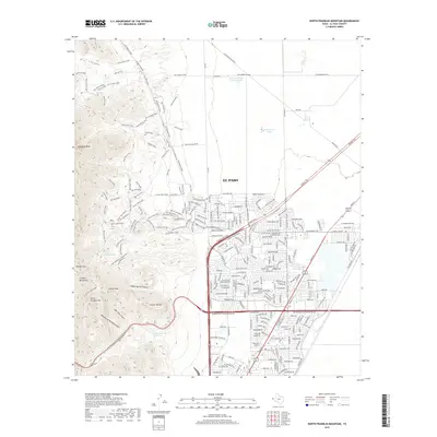
2019 Map of North Franklin Mountain
USGS Topo · Published 2019About this map
The Franklin Mountains dominate the western half of this 2019 survey, rising sharply above the urban expansion of El Paso. The landscape is a study in contrasting uses, where the high peaks of North Franklin Mtn and Anthonys Nose tower over an intricate network of backcountry paths and rugged tracks. These routes, including Old Tin Mine Road and Mad Cow Trail, suggest the area's transition from early industrial efforts to modern recreational space.
Find a feature on this map
233 named features on this map. Tap any name to fly to it.
Don’t see what you’re looking for? This feature index may not catch every label — zoom into the map to look around manually.
Map Details
Editions of this 2019 North Franklin Mountain Map
This is the sole edition of this map. No revisions or reprints were ever made.
Other maps of this area

1891 · Las Cruces
USGS Topo · 1:125,000

1893 · Las Cruces
USGS Topo · 1:125,000

1896 · El Paso
USGS Topo · 1:125,000

1908 · El Paso
USGS Topo · 1:125,000

1917 · Canutillo
USGS Topo · 1:62,500

1919 · Canutillo
USGS Topo · 1:62,500

1940 · Newman
USGS Topo · 1:62,500

1941 · El Paso
USGS Topo · 1:31,680

1942 · Fort Bliss
USGS Topo · 1:62,500

1943 · La Mesa
USGS Topo · 1:62,500