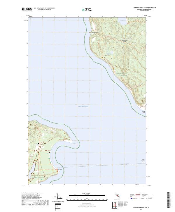
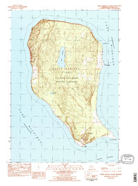
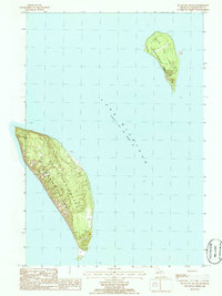
2023 Map of North Manitou Island
USGS Topo · Published 2023This historical map portrays the area of North Manitou Island in 2023, primarily covering Leelanau County. Featuring a scale of 1:24000, this map provides a highly detailed snapshot of the terrain, roads, buildings, counties, and historical landmarks in the North Manitou Island region at the time. Published in 2023, it is the sole known edition of this map.
Find a feature on this map
20 named features on this map. Tap any name to fly to it.
Don’t see what you’re looking for? This feature index may not catch every label — zoom into the map to look around manually.
Map Details
Editions of this 2023 North Manitou Island Map
This is the sole edition of this map. No revisions or reprints were ever made.
Historical Maps of Glen Arbor Township Through Time
24 maps found
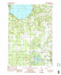
1983 Burdickville
Leelanau County, MI
1983 Gills Pier
Leelanau County, MI
1983 Glen Haven
Leelanau County, MI
1983 Good Harbor Bay
Leelanau County, MI
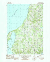
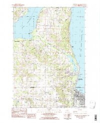
1983 North Manitou Island
Leelanau County, MI
1983 Northport NW
Leelanau County, MI
1983 South Manitou Island
Leelanau County, MI
1983 Traverse City SW
Leelanau County, MI
1986 South Fox Island
Leelanau County, MI
1997 North Manitou Island
Leelanau County, MI
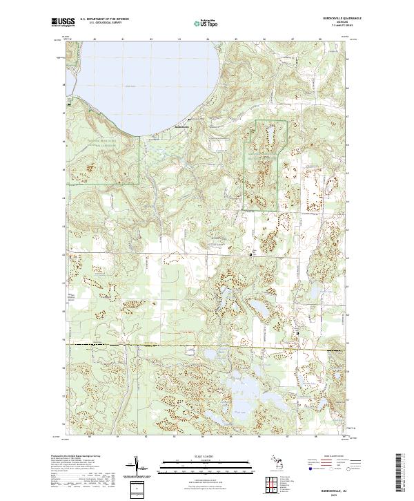
2023 Burdickville
Leelanau County, MI
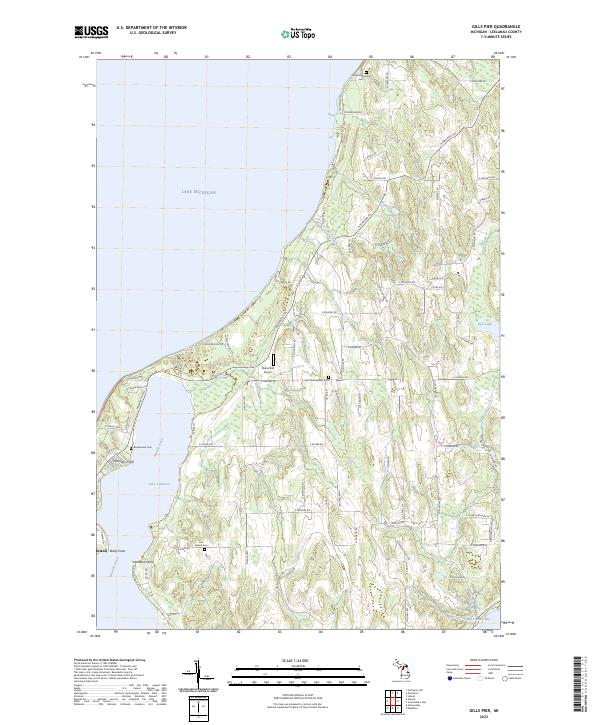
2023 Gills Pier
Leelanau County, MI
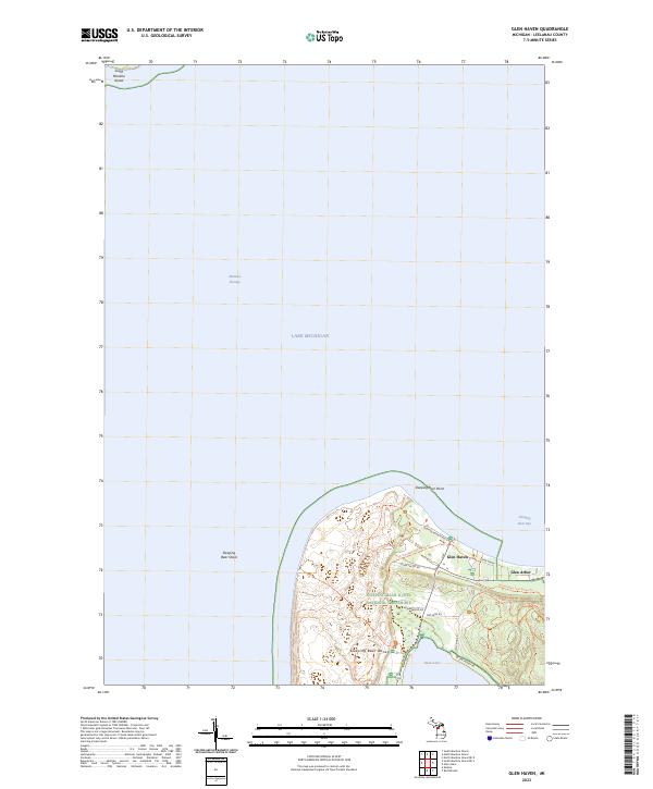
2023 Glen Haven
Leelanau County, MI
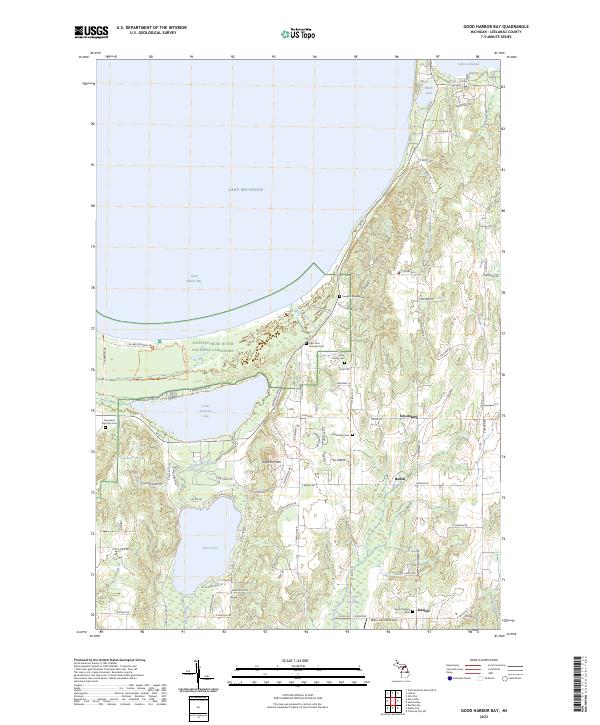
2023 Good Harbor Bay
Leelanau County, MI
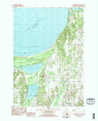
2023 North Manitou Island
Leelanau County, MI
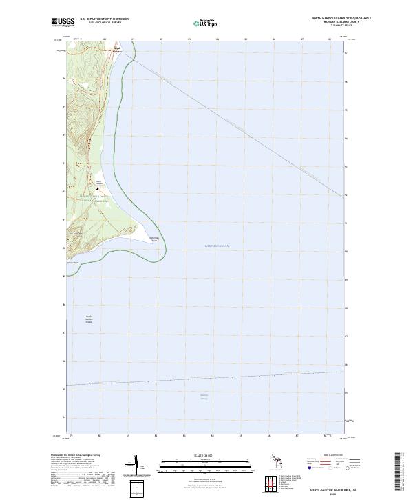
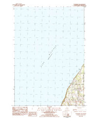
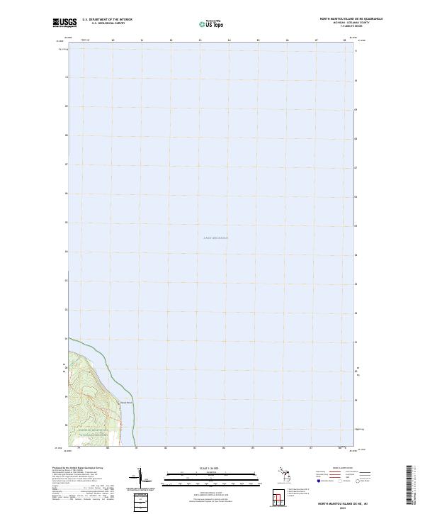
2023 North Manitou Island OE E
Leelanau County, MI
2023 North Manitou Island OE NE
Leelanau County, MI
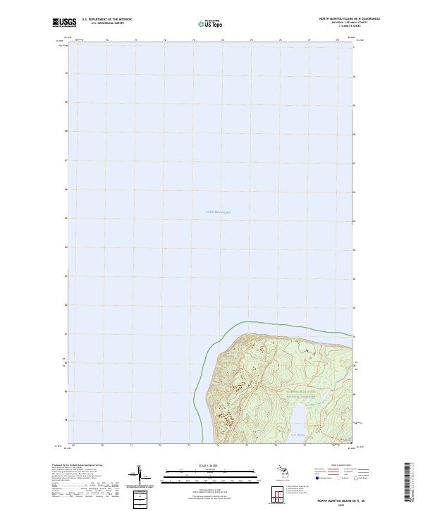
2023 North Manitou Island OE N
Leelanau County, MI
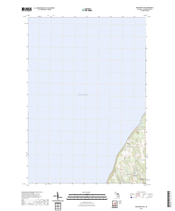
2023 Northport NW
Leelanau County, MI
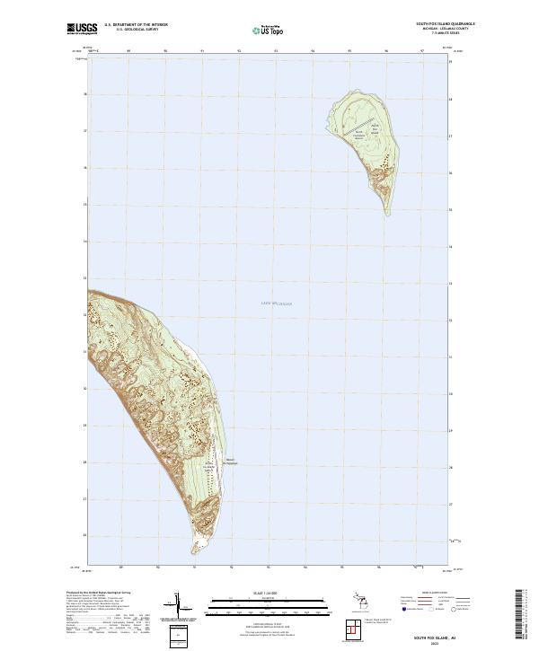
2023 South Fox Island
Leelanau County, MI
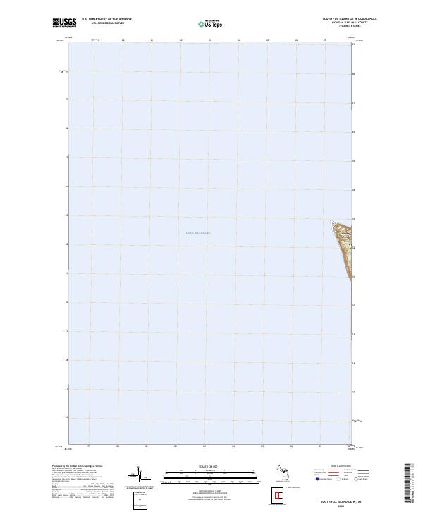
2023 South Fox Island OE W
Leelanau County, MI
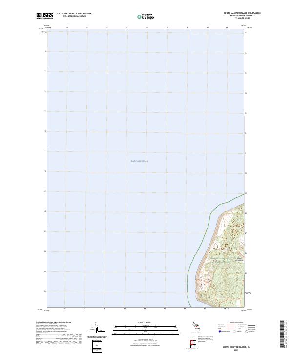
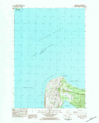
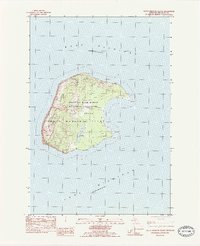
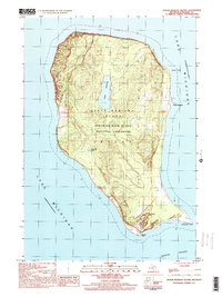
2023 South Manitou Island
Leelanau County, MI
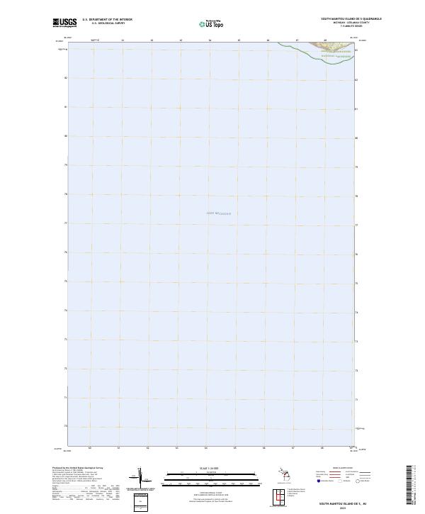
2023 South Manitou Island OE S
Leelanau County, MI
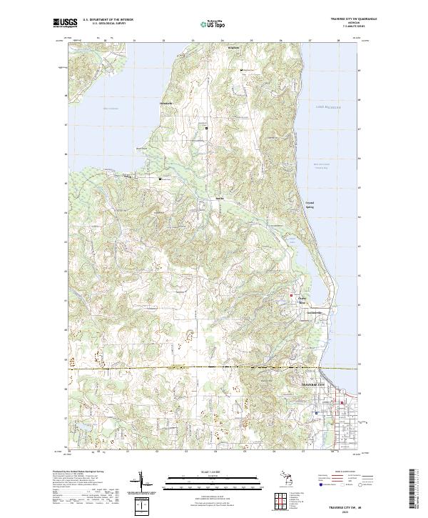
2023 Traverse City SW
Leelanau County, MI