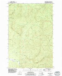
1955 Map of North Nemah
USGS Topo · Published 1994About this map
The North Nemah River valley and surrounding timberlands of Pacific County define this 1950s survey, updated in the 1990s to reflect modern land use. The small settlement of North Nemah serves as the primary hub of human activity, situated near the confluence of the river's various forks. A significant maritime and ecological landmark, the State Salmon Hatchery, is located along the riverbanks, illustrating the region's historical reliance on the salmon industry.
Find a feature on this map
16 named features on this map. Tap any name to fly to it.
Don’t see what you’re looking for? This feature index may not catch every label — zoom into the map to look around manually.
Map Details
Editions of this 1955 North Nemah Map
4 editions found
Other maps of this area

1938 · Fort Columbia
USGS Topo · 1:62,500

1938 · South Bend
USGS Topo · 1:62,500

1940 · Brookfield
USGS Topo · 1:62,500

1940 · South Bend
USGS Topo · 1:62,500

1943 · Fort Columbia
USGS Topo · 1:62,500

1949 · Upper Naselle River
USGS Topo · 1:24,000

1949 · Oman Ranch
USGS Topo · 1:24,000

1949 · Long Island
USGS Topo · 1:24,000

1953 · Hoquiam
USGS Topo · 1:250,000

1955 · Grays River
USGS Topo · 1:62,500